Weather
5 Inches Of Snow Possible: Winter Weather Advisories Issued In IL
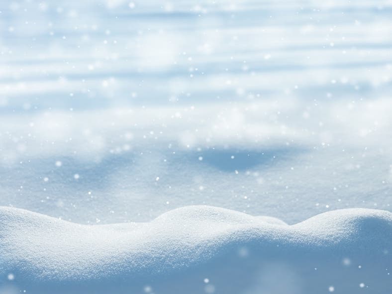
Snow will be moderate to heavy at first, with rates of a half inch to 1 inch per hour Friday evening.

ILLINOIS — Winter weather advisories have been issued for almost all of northern Illinois in advance of expected snow, sleet and rain Friday. The advisory is in effect from 5 p.m. Friday to 6 a.m. Saturday for Will, Kankakee, Iroquois, Lake, Kane, DuPage, Cook, La Salle, Kendall, Grundy, Livingston, Ford, Winnebago, Boone, McHenry, Ogle, Lee and DeKalb counties.
The National Weather Service said snow will begin late Friday afternoon and continue through the evening. Snow will be moderate to heavy at first, with rates of a half inch to 1 inch per hour Friday evening. The weather could create hazardous travel conditions during the evening commute, with snow and ice on the road and low visibility.
According to the weather service, snow will change to sleet and freezing rain late Friday night. Total snow and sleet accumulations of 2 to 5 inches are possible, as well as ice accumulation of up to one-tenth of an inch.
Find out what's happening in Lemontwith free, real-time updates from Patch.
.jpg)
The most snowfall will be north of I-80, and the greatest potential for ice accumulation is south of I-80, according to the weather service.
The wintry weather could impact part of the Friday evening commute, the weather service said.
Find out what's happening in Lemontwith free, real-time updates from Patch.

Get more local news delivered straight to your inbox. Sign up for free Patch newsletters and alerts.


