Weather
Tornado Possible, Severe Storm Watch Issued For Illinois
A severe thunderstorm watch is in effect for much of Illinois until 3 p.m. Tuesday.

ILLINOIS — Another day of severe weather is possible for the Chicago area and much of central and southern Illinois. A severe thunderstorm watch is in effect until 3 p.m. and has been issued for Ford, Christian, De Witt, Logan, Macon, McLean, Sangamon, Shelby, Champaign, Coles, Cumberland, Douglas, Edgar, Moultrie, Piatt, Vermilion, Effingham, Morgan, Scott, Iroquois, Kankakee and Will counties.
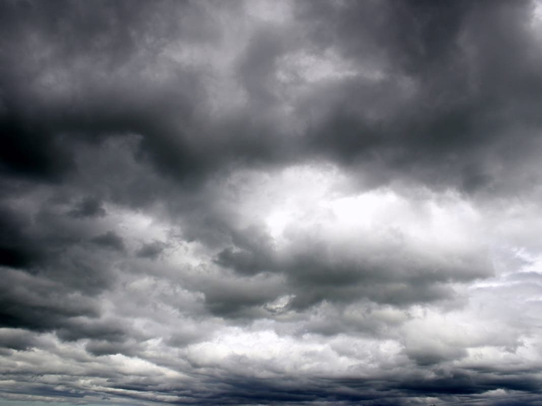
Another view of the shelf cloud on the leading edge of the line of storms moving through the south/southwest #Chicago suburbs and points south. #ilwx https://t.co/XbXi5ATdxt
— NWS Chicago (@NWSChicago) August 20, 2019
According to the National Weather Service, a thunderstorm complex will move across the region Tuesday morning into the early afternoon. The storms bring a threat of strong to severe wind gusts and quarter-size hail.
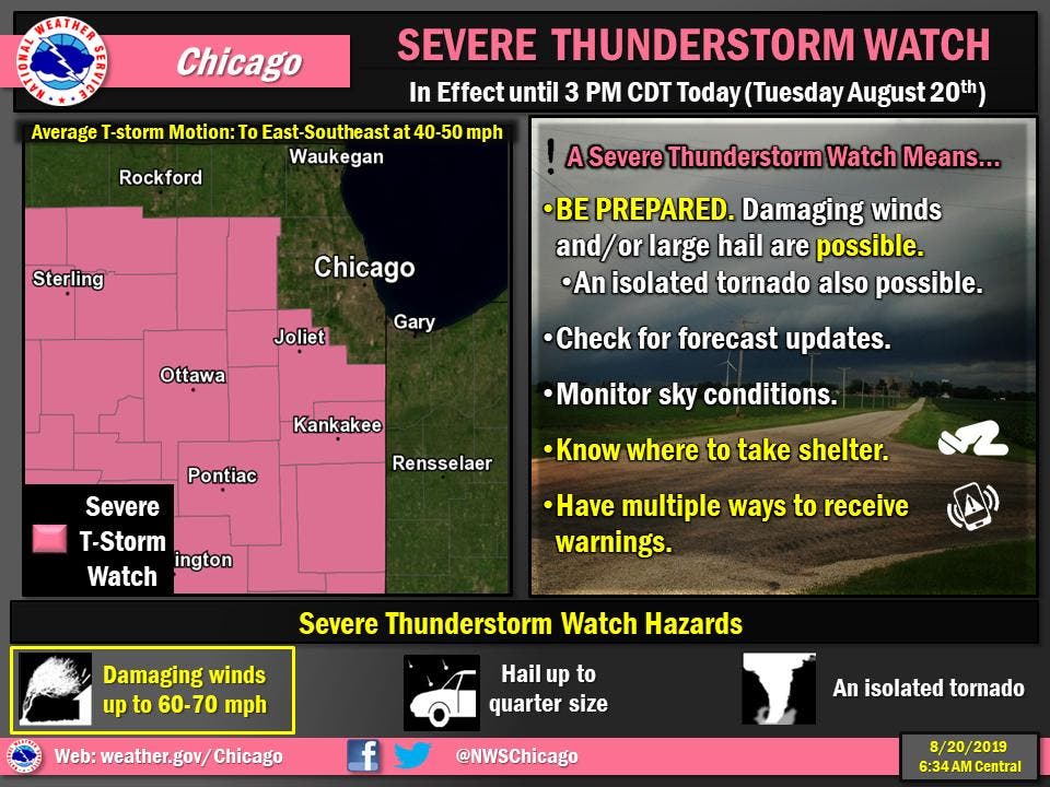
The NWS said tornadoes are a lower threat, but can't be ruled out. Damaging wind gusts are most likely south and west of a Rockford to Aurora to Valparaiso line.
Find out what's happening in Lemontwith free, real-time updates from Patch.
More storms, strong to severe, could develop late Tuesday afternoon and evening. Strong winds and large hail are also possible with those storms.

Find out what's happening in Lemontwith free, real-time updates from Patch.
Get more local news delivered straight to your inbox. Sign up for free Patch newsletters and alerts.