Snow leaves Chicago, but chilly temps remain for the weekend
CHICAGO (CBS) -- Widespread snow showers exit the area early this evening.
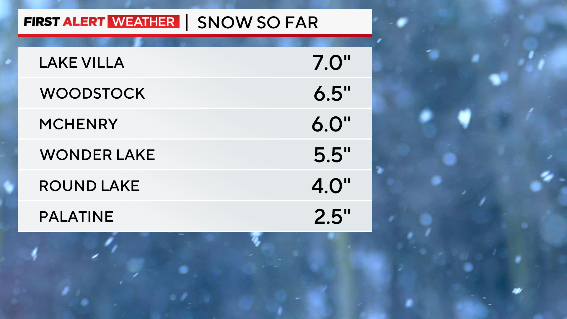
Snowfall amounts have been highest in McHenry and Lake County, where seven inches of snow was reported in Lake Villa and 6.5 inches in Woodstock.
A north wind Friday night will lead to the potential for scattered light lake effect snow showers. Snow chances continue for lakeside locations through midday Saturday.
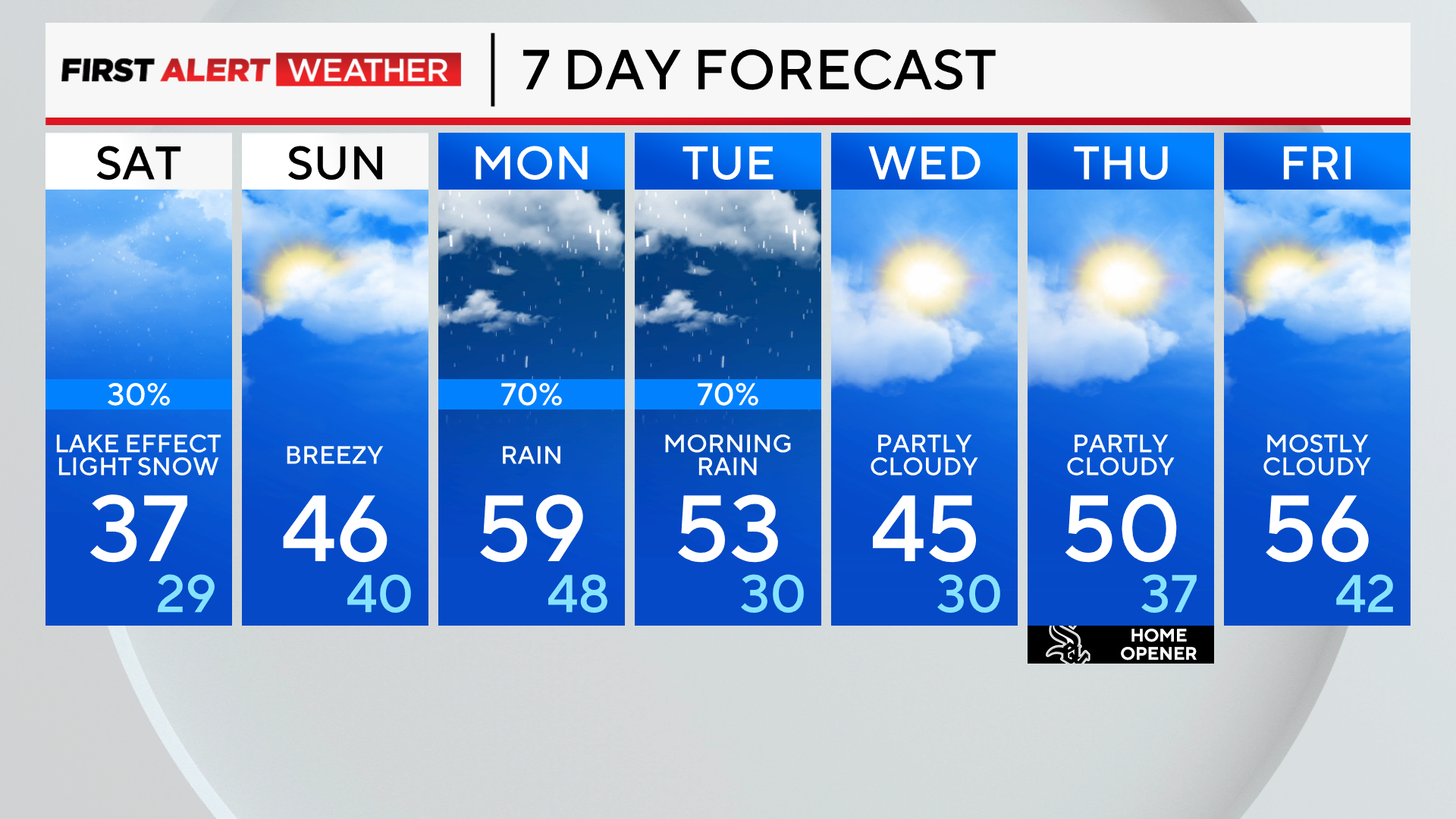
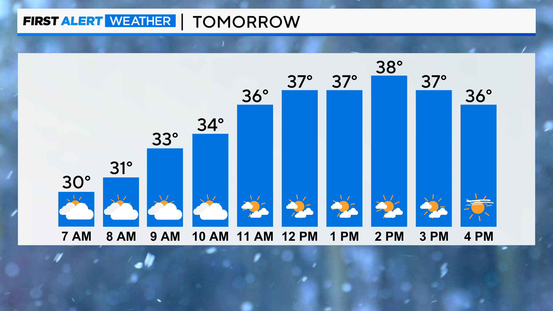
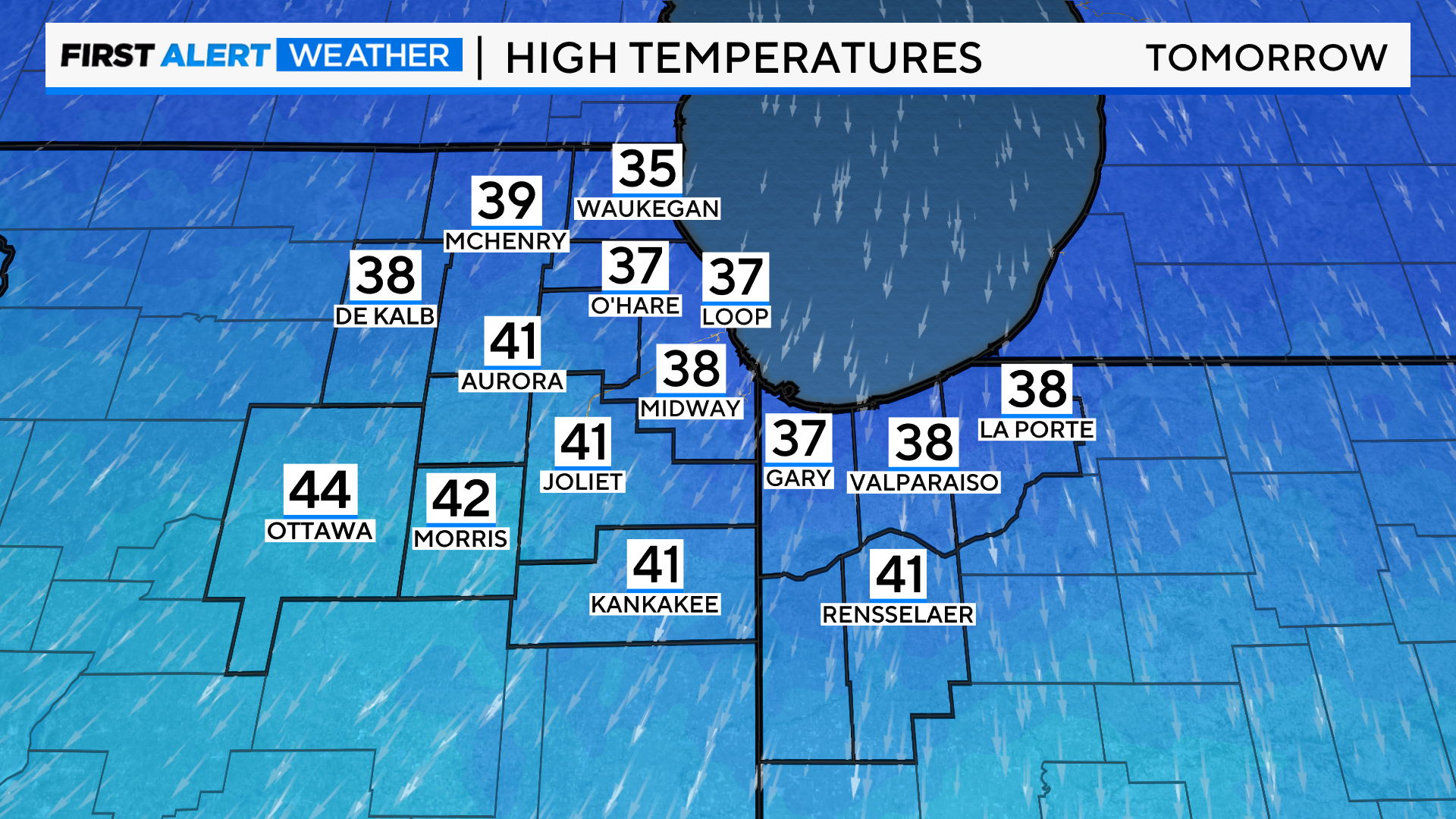
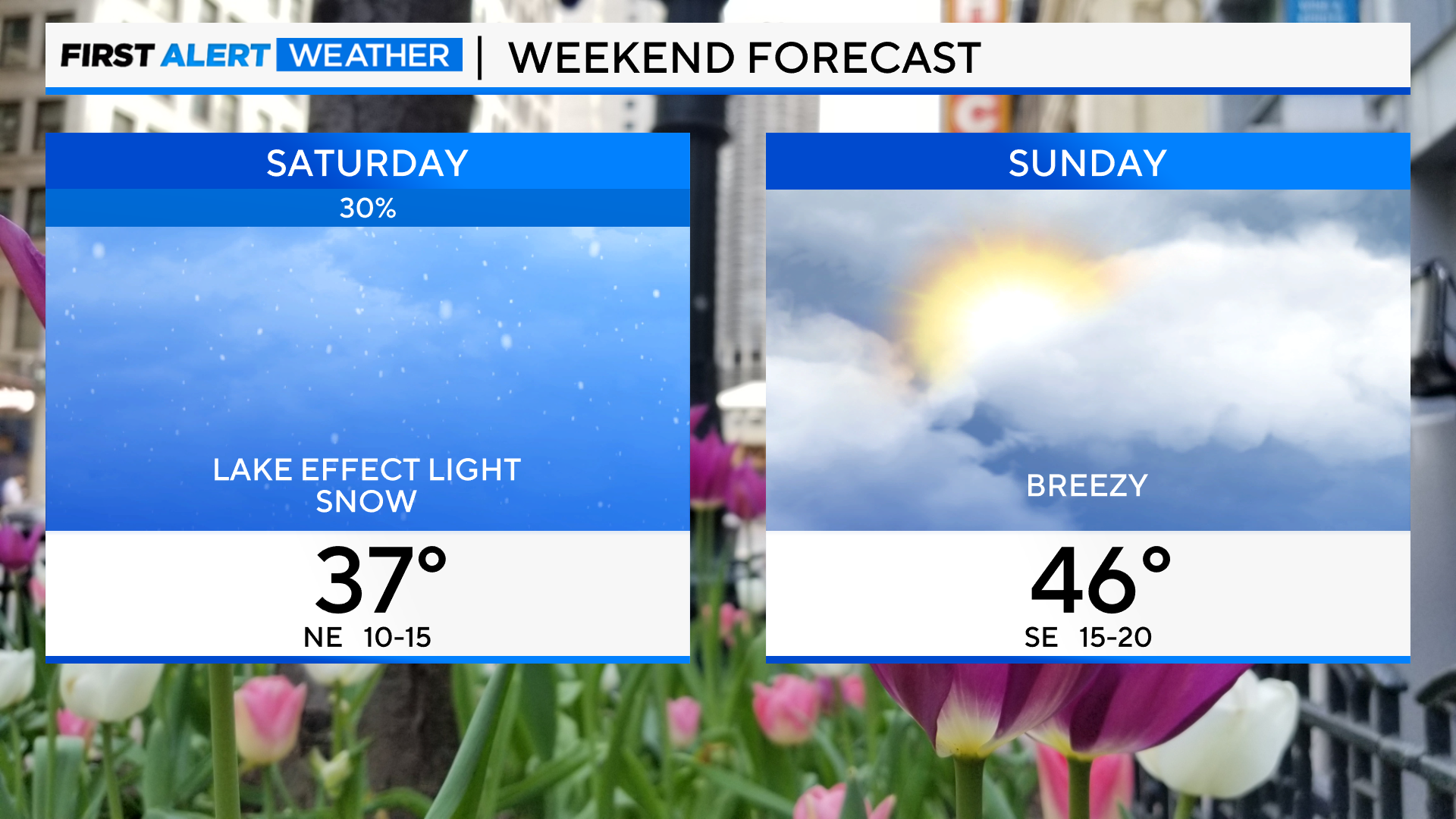
Saturday will be chilly, with highs in the mid to upper 30s and some afternoon clearing.
Sunday will be mostly cloudy, breezy, and milder, with highs in the mid-40s.
Breezy southeast winds and rain chances arrive Sunday night into Monday as a storm system moves into the area. Rain chances continue Tuesday, then turn drier and cooler by midweek.
Tonight: Widespread snow ends and lake-effect snow is possible. Low 30.
Saturday: There is a chance for lake effect snow in the morning, then clearing skies. High 37.
Sunday: Increasing clouds. High 46.