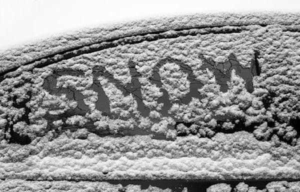
Snow has been in short supply in the Twin Cities this winter, with just 14.3 inches reported at the Minneapolis-St. Paul International Airport as of Wednesday.
But a pair of storms — one Thursday night and a second on Sunday — will turn the landscape into a winter wonderland and bring almost as much snow as there has been all season, the National Weather Service said.
Here is what to expect, and when:
Thursday morning and afternoon
A few stray flurries may fall, but no accumulation is expected and roads should remain in good condition through the evening commute. This would be a good time to get the shovels ready and gas up the snowblower. It's also a good time for motorists to top off the gas tank and washer fluid, and put that winter survival kit back in the vehicle.
Thursday night
A winter weather advisory goes into effect at 7 p.m. for a wide swath of Minnesota, stretching from Fergus Falls and Morris in the west through St. Cloud, the Twin Cities and into southeastern Minnesota. Snow will move across the state from west to east. Anywhere between 3 and 7 inches of snow is expected to fall in the metro area, with the heaviest amounts along I-94 and west of I-35, the National Weather Service said.
Snow should arrive in the metro area between 7 p.m. and 8 p.m., with the heaviest bands moving through around 11 p.m. Thursday to 1 a.m. Friday, the Weather Service said.
Friday morning
Snow will taper off by mid-morning, but the morning commute could be rough.
"Plan on slippery road conditions," the Weather Service said. "Slow down and use caution when traveling."
Friday evening and Saturday
A chance to dig out and enjoy a reprieve before the next system arrives.
Sunday morning
Confidence is growing that metro and central Minnesota will pick up at least 6 inches of slushy snow, with the storm arriving before dawn Sunday and lasting all day. The metro area has a 70% to 80% chance of getting half a foot of snow, with a 50% chance of that happening pretty much everywhere south of a line from Alexandria to Brainerd to Moose Lake, the Weather Service said.
Sunday night
With temperatures hovering around freezing, rain, sleet or ice could mix in, keeping overall snow totals down but creating hazardous conditions.
"Travel will be the primary impact, but the power grid may also be impacted depending on how much falls as ice versus snow," the Weather Service said.
Monday and Tuesday
Precipitation will change from snow to rain as temperatures rise to near 40 degrees. Then periods of rain, snow or a rain-snow mix will continue into Monday night and all day Tuesday.
Wednesday
The sun is expected to come out as the storm finally pulls away. A high of 37 degrees is expected.

GOP endorses Tad Jude for congressional seat Dean Phillips is leaving

One day in the frantic life of a Children's Minnesota emergency room nurse

Sen. Nicole Mitchell off committee assignments while case under review