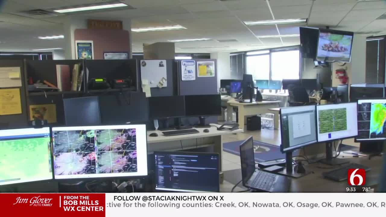
Live Updates: Severe Storms In Upper NE Oklahoma
Oklahoma Weather Forecast: Bookmark this page and refresh it often for the latest forecast and daily updates.Tuesday, April 30th 2024, 8:44 pm
TULSA, Okla. -
A severe thunderstorm watch has been issued for a large part of Northeastern Oklahoma, including Tulsa County.
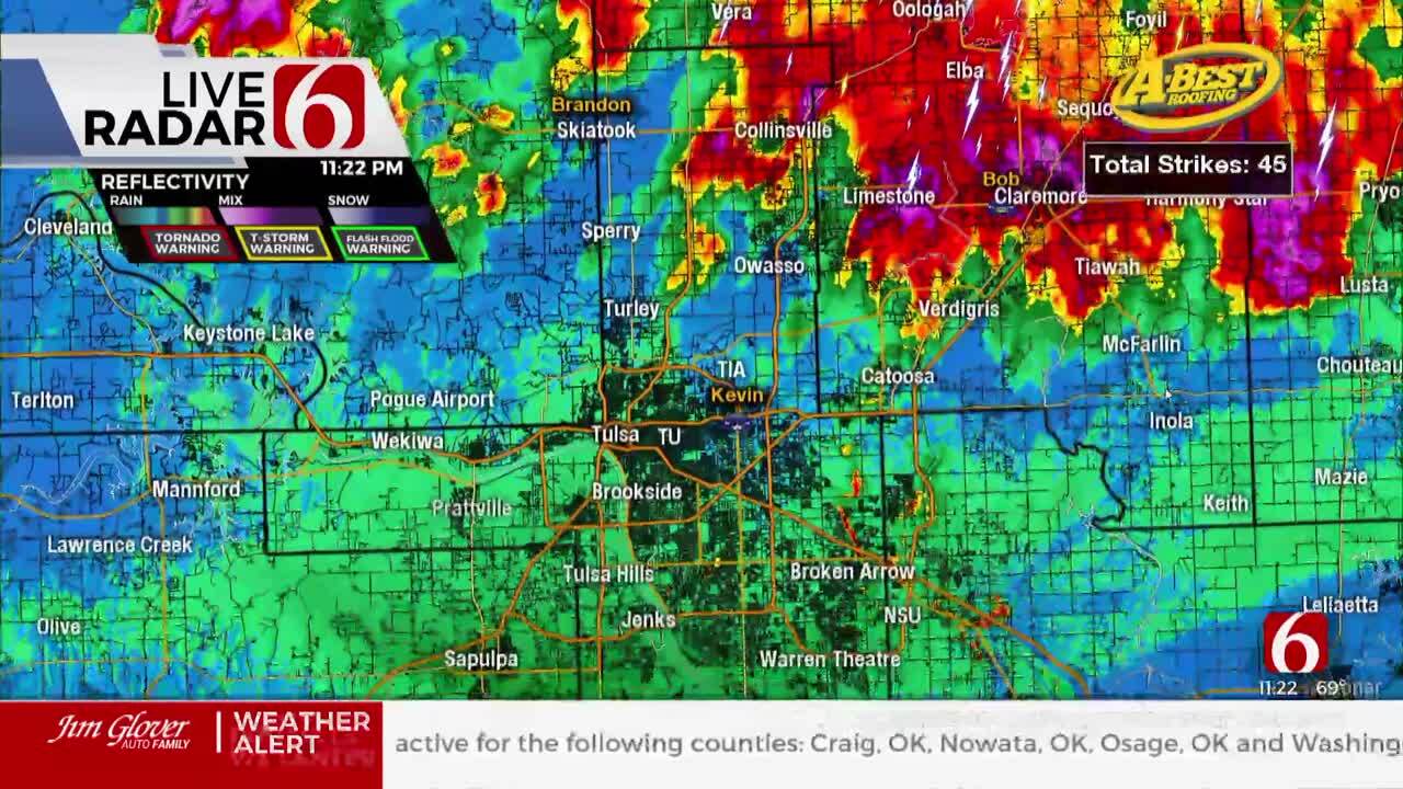
A tornado warning was issued near Caney, Kansas until 9:00 p.m., and there are severe thunderstorms moving across the Kansas-Oklahoma border.
Live Updates:
- Severe Thunderstorm Watch for Craig, Creek, Mayes, Nowata, Osage, Pawnee, Rogers, Tulsa, Wagoner and Washington County until 12:00 a.m.
- Severe Thunderstorm Warning for Osage and Pawnee County until 12:15 a.m.
- Severe Thunderstorm Warning for Kay and Noble County until 12 a.m.

This should bring a one-day break Friday before unsettled weather returns with thunderstorm probabilities for some locations this weekend.
What will the weather be like in Oklahoma on Tuesday, April 30?
Highs Tuesday afternoon will reach the mid-80s with sunshine and a few clouds. Stiff south winds will arrive today with speeds from 15 to 30 mph and continue Wednesday.

The overall forecast hasn’t changed too much compared to Monday’s data. The upper flow remains strongest to our north Tuesday, across the central and northern plains region.

By Tuesday night into early Thursday, the pattern will revert to a more normal southwest upper air flow and will bring slightly stronger forcing near the southern plains. This brings a mention for a few strong to near severe storms, yet the overall severe threats will remain low for our immediate region of the state.
What are the storm chances this week in Oklahoma?
A dry line will become sharp across far northwestern Oklahoma Tuesday afternoon. A few thunderstorms will attempt to develop along and ahead of this feature later Tuesday. Most of these storms will stay west of our immediate area. Thunderstorms are likely to develop across central Kansas later this afternoon and move southeast.

Later Tuesday night and early Wednesday morning, a few of these storms will move across the state line and could impact part of northern Oklahoma, including near the Tulsa Metro. A few could be strong and severe.
What with the weather be like later this week in Oklahoma?
By Thursday into Friday, as the next stronger upper-level trough approaches from the southwest, probabilities for thunderstorms will increase Wednesday night into Thursday before the trough exits the region.
Stronger flow will remain north but a few strong to severe storms will be possible as a surface low develops along the front Thursday and scoots eastward across the state.

By Friday morning, a cold front should be clearing most of the area, with drier and relatively cooler air filtering across the area bringing a short break Friday. The front is expected to stall and may lift or reform slightly north into the weekend as another system is likely to influence part of the area with some scattered shower and storm chances.
The upper air flow is not expected to be overly strong and severe threats will be muted for the first part of the weekend before a strong upper trough nears the region Sunday.
Outages Across Oklahoma:
Northeast Oklahoma has various power companies and electric co-operatives, many with overlapping areas of coverage. Below is a link to various outage maps.
Indian Electric Cooperative (IEC) Outage Map
Oklahoma Association of Electric Cooperatives Outage Map - (Note Several Smaller Co-ops Included)
The Alan Crone morning weather podcast link from Spotify:
https://open.spotify.com/episode/5j0ovActG8BZCOTqZQzrfU
The Alan Crone morning weather podcast link from Apple:
https://podcasts.apple.com/us/podcast/weather-out-the-door/id1499556141?i=1000646589555
Follow the News On 6 Meteorologists on Facebook!

Get The Daily Update!
Be among the first to get breaking news, weather, and general news updates from News on 6 delivered right to your inbox!
More Like This
April 30th, 2024

April 30th, 2024
April 30th, 2024

April 30th, 2024
Top Headlines
April 30th, 2024
April 30th, 2024

April 30th, 2024