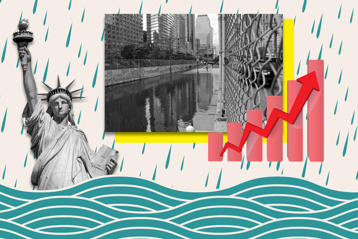
Parts of Manhattan, Long Beach and Coney Island are at risk of being consumed by water as sea levels rise due to the effects of climate change in the coming century, modeling suggests.
By the year 2100, the Intergovernmental Panel on Climate Change (IPCC) estimates there will be between 43 and 84 centimeters (1.4-2.8 feet) of sea level rise, but that an increase of 2 meters (6.6 feet) "cannot be ruled out."
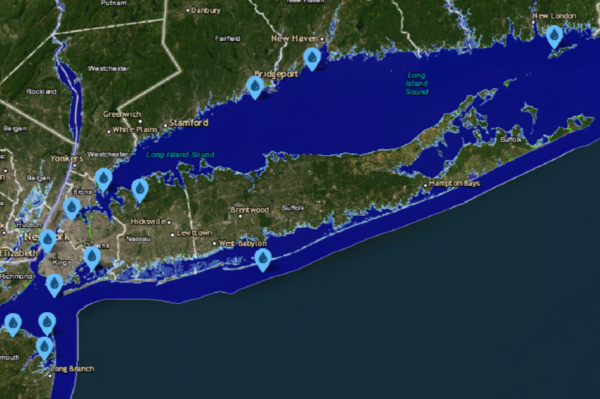
According to projections by the National Oceanic and Atmospheric Administration, a sea level rise of around 3 feet would still see receding coastlines along New York's stretch of the Atlantic Ocean, with neighborhoods in Hamilton Beach, Montauk and Westhampton encroached upon by ocean waters.
The barrier islands along Long Island would become smaller due to rising sea levels and streets in northern Long Beach submerged, while several areas would be prone to flooding, such as Montauk Airport, Jamaica Bay Wildlife Refuge and Mill Creek in Queens.
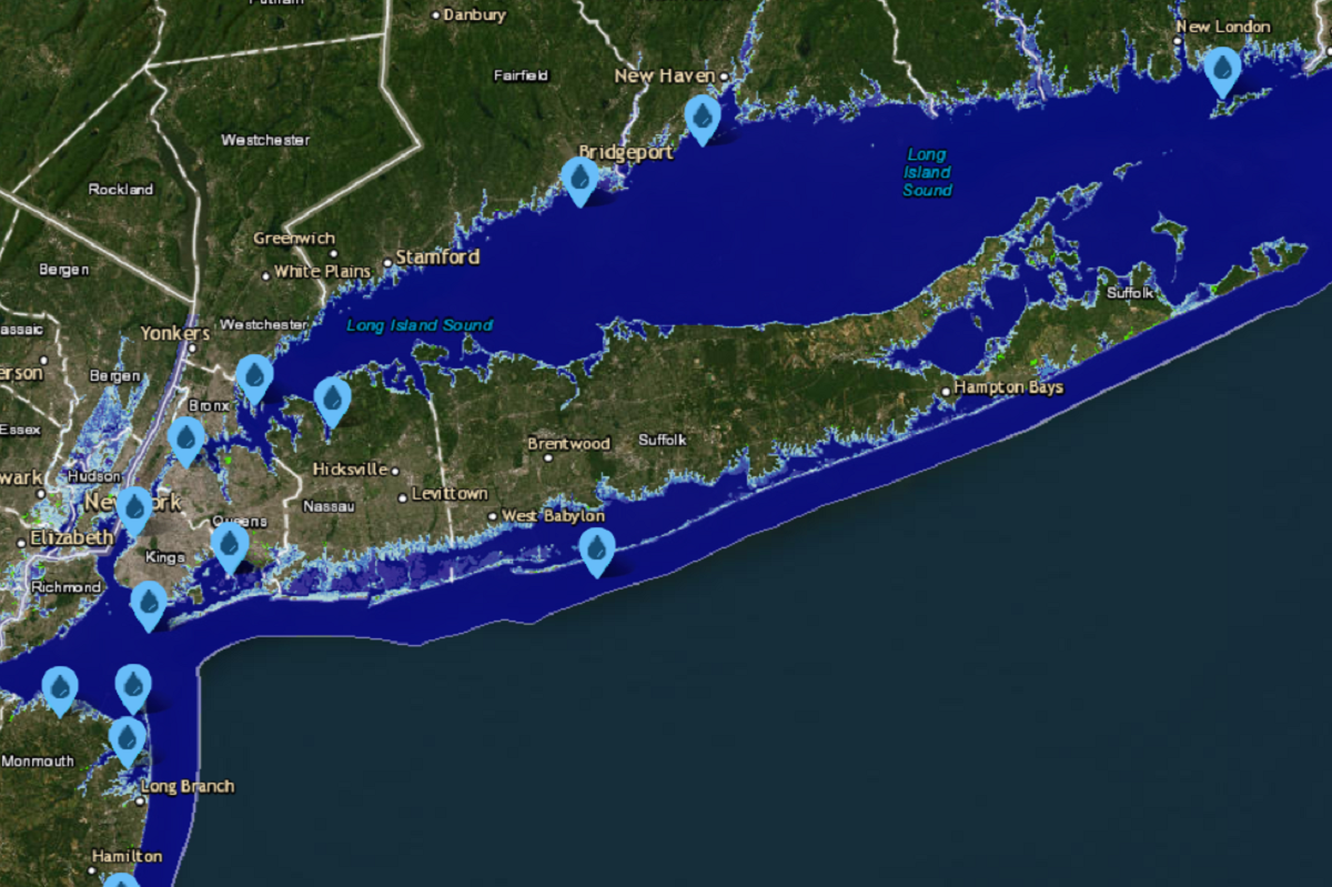
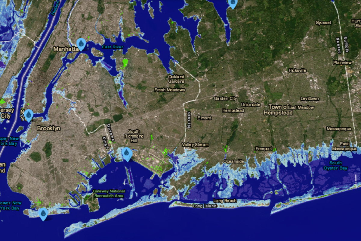
Under 6 feet of sea level rise, the effects on New York would be more acute. In this scenario, half of LaGuardia Airport would be submerged by the East River, as would the streets immediately bordering Manhattan's current waterfront and the Hudson River Greenway.
The island on which the Statue of Liberty sits is predicted to grow smaller, while nearby Ellis Island would effectively be reduced to the part that counts as New York. Piers would likely have to be rebuilt, including those around Manhattan, the Brooklyn Naval Yards and commercial ports around Red Hook.
Also underwater would be Astroland in Coney Island and the Rockaway Peninsula in Long Island, while Long Beach would be reduced to a handful of blocks.
Island Park would all but disappear, while many coastal communities along Long Island's southern edge would be consumed by the ocean. Montauk would barely be connected to the rest of the island by a thin strip of beach.
But David Thornalley, a professor of ocean and climate science at University College London, previously noted that 2100 was only a single lifespan away, telling Newsweek that greater sea level rises with far more severe impacts due to melting ice sheets were being predicted to occur in the coming hundreds to thousands of years.
He said the most vulnerable ice sheets were those in the Antarctic that are marine-based—that is, the bottom of the ice sheet sits on land that is below sea level.
Antarctica's ice sheet holds enough water to raise sea levels by more than 190 feet. One 2022 paper estimated that its ice sheet would collapse in about 2,000 years, though this could happen in as little as 500 years or as far away as 13,000 years.
Meanwhile, the concurrent melting of Greenland's ice sheets could raise sea levels by a further 23 feet.
If all the world's ice sheets melted, sea levels are predicted to rise by 216 feet. Under this scenario, the Atlantic Coast is predicted to fare far worse than the Pacific due to the nature of the terrain—though all coastal areas would recede.
Analysis by National Geographic in 2013 suggested that the entirety of Florida would disappear underwater, as well as significant portions of the Carolinas and Louisiana. The Delmarva Peninsula would also be subsumed by the ocean.
In New York, Long Island would completely vanish as would most, if not all, of New York City, with the state's Atlantic coastline starting north of Yonkers.
Uncommon Knowledge
Newsweek is committed to challenging conventional wisdom and finding connections in the search for common ground.
Newsweek is committed to challenging conventional wisdom and finding connections in the search for common ground.
About the writer
Aleks Phillips is a Newsweek U.S. News Reporter based in London. His focus is on U.S. politics and the environment. ... Read more
To read how Newsweek uses AI as a newsroom tool, Click here.