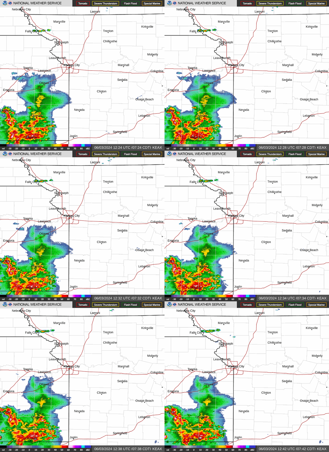
Tornado watch issued for Kansas City as severe thunderstorms begin sweeping across area
A tornado watch has been issued for western Missouri, including the Kansas City area, as strong to severe storms begin to fire up Monday afternoon, according to the National Weather Service.
In the Kansas City area, the watch includes Johnson, Leavenworth and Wyandotte counties in Kansas and Clay, Jackson and Platte counties in Missouri.
Seven counties in northeast Kansas and 31 counties in western, northwestern, and central Missouri are included in the Kansas City watch, which is in effect until 11 p.m. Monday.
The primary threat includes the likelihood of a few tornadoes, scattered hail up to tennis balls in size, and wind gusts up to 80 mph.

With the threat of severe weather, it’s important to remember the difference between watches and warnings. A watch basically means to be prepared for severe weather. A warning means to take action because severe weather has either been reported by spotters or indicated by radar.
About a half hour before the watch was issued, the National Weather Service’s Storm Prediction Center stated that storms capable of all severe hazards, including large to very large hail, damaging winds, and tornadoes, were expected to move into far eastern Kansas and western Missouri during the afternoon.
“Storms have initiated in far northeast Kansas and have moved into northwest Missouri,” the Storm Prediction Center said. “Additional storms are likely to move into western Missouri from north-central Oklahoma/southeast Kansas over the next few hours.”
The severe risk for eastern Kansas and western Missouri is expected to increase into the evening.
Weather watches and warnings
A live data feed from the National Weather Service containing official weather warnings, watches, and advisory statements. Tap warning areas for more details. Sources: NOAA, National Weather Service, NOAA GeoPlatform and Esri.
