

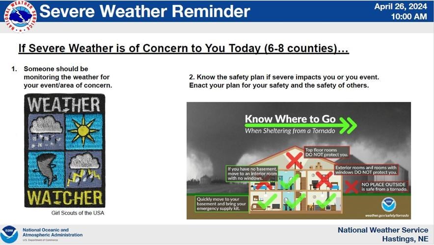
The National Weather service in Hastings hosted a webinar for media partners on Friday, to update the affected weather area on the storm outlook for the weekend.

As of 7 a.m. this morning, Grand Island had a reported 3.55 inches of rain. Further according to the 10 a.m. webinar, other locations in the area and their rain totals were:
- Wood River - 5.23"
- Doniphan - 4.58"
- Alda - 3.88"
- Osceola - 3.38"
- York - 2.66"
- Near Kearney - 2.61"
- Fullerton - 1.01"
A tornado risk remains prominent for part of the NWS-Hastings coverage area until 4 p.m. Localized hail, up to a half-dollar in size, may be seen with stronger storms. Also possible will be 60 mph wind gusts.
As of 2:20 p.m., a Tornado Warning has been issued to include Spalding and Wolbach, until 3 p.m. A special weather statement has also been issued for Grand Island, Wood River and Alda (including nickel sized hail and 50 mph winds) until 3 p.m.
People are also reading…

The main severe threat for Central Nebraska on Saturday will be from 3-10 p.m., with a tornado threat from 3-7/8 p.m. Hail up to golf ball size will be possible in some locations, with 60 mph wind gusts. Additional rainfall Saturday night could cause some localized flooding.


