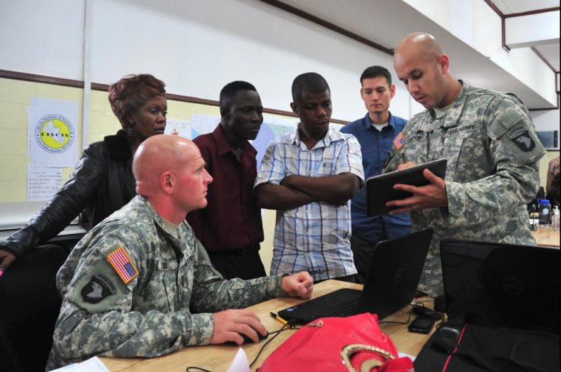
U.S. soldiers explain the use of geospatial intelligence data in helping to fight Ebola to Liberian officials. Photo by Department of Defense photo
WASHINGTON, Nov. 25 (UPI) -- A U.S. intelligence agency has launched a public website to provide unclassified geospatial intelligence data to aid in the battle against Ebola in Africa.
The National Geospatial-Intelligence Agency site providing geospatial data on West African countries affected by the disease is open to non-governmental organizations, such as Doctors Without Borders, and the general public as well as to other governments.
For Ebola support, NGA's Readiness, Response and Recovery Office is working with the U.S. State Department.
"NGA is not necessarily in the business of providing unclassified data," said Timothy J. Peplaw, director of the Readiness, Response and Recovery Office. "But my customer set is very open, so my group is the one exception where we have to provide unclassified data and products to people who support (fighting) these disasters.
"But it's usually not through the World Wide Web and unclassified. It's usually through things like data encryption or special access with a need to know."
The Readiness, Response and Recovery Office provides data and products and makes them available as a service using a common operating environment called ArcGIS, from California-based company Esri. Products include map atlases that Peplaw describes as maps and commercial imagery rolled into one.
The maps include different layers of data that can be turned on and turn off depending on user needs. That data could include transportation data, date on medical facility locations, landing strips and the like. It is also updated in real time.
"We have a partnership with the State Department through the World Wide Human Geography Data Working Group, formed in 2011 to focus on the need for human geography global foundation data as a basis better understanding cultures, activities and attitudes," Peplaw said. "Through that partnership, we have access to a wide variety of unclassified publicly available data. So NGA pulls that data together and offers it up as a service."


