


Our Main Office
Construction Equipment Guide
470 Maryland Drive
Fort Washington, PA 19034
800-523-2200
Thu August 16, 2018 - Northeast Edition #17
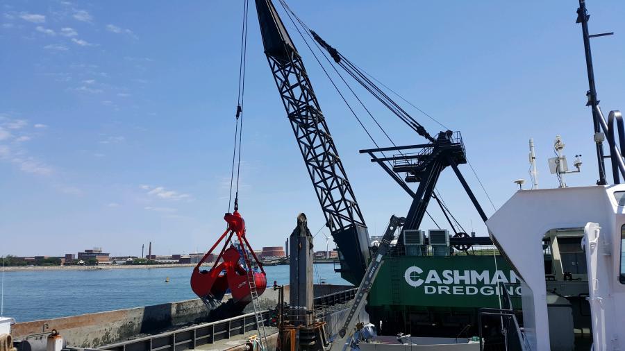
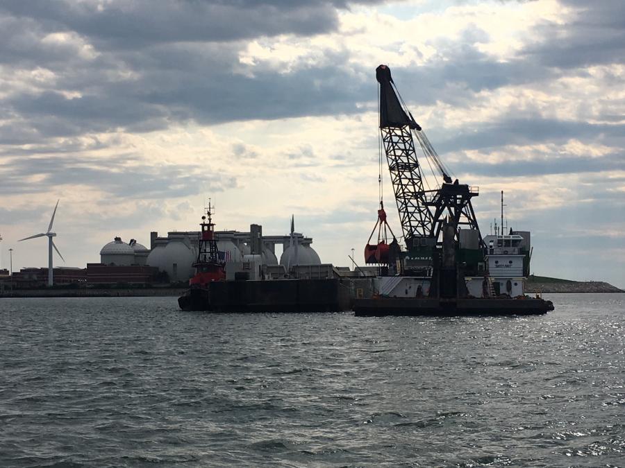
Work on a $123 million dredging project in New England's largest seaport is under way, with plans to continue for about three years to deepen the project to its newly authorized depths.
The dredging project in the Boston Harbor is designed to accommodate large container ships that are calling on the United States' east coast now that the Panama Canal improvements are completed, according to the U.S. Army Corps of Engineers.
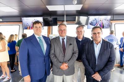
The contract was awarded to Cashman/Dutra, joint venture of Quincy, Mass., in February 2017, but delayed due to a GAO protest which was resolved in late spring.
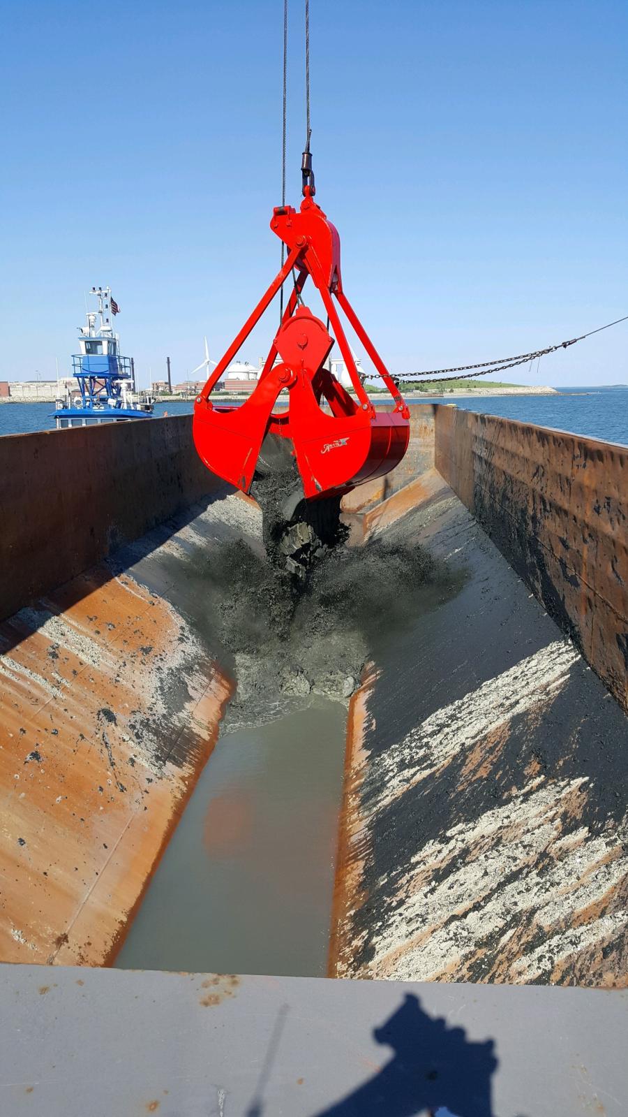
Approximately 11.7 million cu. yds. of silt, blue clay, till and weathered rock will be dredged to improve the harbor project, including: deepening and widening the Broad Sound North Channel to -51 ft. Mean Lower Low Water (MLLW); deepening and widening the Main Ship Channel to the Conley Terminal, including the turning basin to -47 ft. MLLW; and deepening the President Roads Anchorage and the lower Reserved Channel to 47 ft. MLLW.
The dredged material will be offloaded at the Massachusetts Bay Disposal Site, approximately 20 mi. offshore of Boston Harbor, with the exception of a small fraction of the material being utilized as a cap to the Main Ship Channel Confined Aquatic Disposal cell, downstream of the inner confluence of the Chelsea and Mystic Rivers.
More than 87 percent of Boston Harbor commerce is the receipt and shipment of petroleum products. Principal commercial traffic consists of the import of distillate petroleum products, residual fuel oil, sugar, limestone and lumber; the receipt and shipment of other petroleum products; and the export of iron and steel scrap.
The initial work in the Boston Harbor began shortly after the Civil War, according to the Corps. The most recent improvement work was completed in May 1966. The current project includes the harbor proper and four access channels: the Chelsea River, the Fort Point Channel, the South Boston Reserved Channel, and the Weir River at Nantasket Beach.
The Corps describes the project in detail below:
Work by the Corps in the harbor proper consists of:
The percentage of traffic passing through the Chelsea River has been increasing over the past several years. A recent study indicated that 46 percent of the traffic in Boston Harbor utilized the Chelsea River.
The Corps' work on the Chelsea River includes a main ship channel 1.8 mi. long extending from the Gen. Andrew P. McArdle Bridge to the end of the Chelsea River. From the McArdle Bridge to the Chelsea Street Bridge, the channel is 35 ft. deep and approximately 225-250 ft. wide. From the Chelsea Street Bridge to a point near the river's end, the channel is 250-430 ft. wide. At the end of the channel there is a turning and maneuvering basin 35 ft. deep and approximately 800 ft. wide and 1,000 ft. long.
The Fort Point Channel extends from Boston Harbor to the Northern Avenue Bridge in South Boston, a distance of about 1,000 ft. It is 23 ft. deep and 175 ft. wide.
The Reserved Channel extends from the 40-ft.-deep channel in Boston Harbor to the L Street Bridge in South Boston, a distance of about 5,400 ft. It is 35 ft. deep and 430 ft. wide
The 1.7-mi.-long channel in the Weir River, 12 ft. deep and 150 ft. wide, provides access to the Nantasket Beach terminal in Hull. The channel extends from Sunset Point on Nantasket Beach, through the Weir River, to Nantasket Pier.
Construction Equipment Guide
470 Maryland Drive
Fort Washington, PA 19034
800-523-2200
Construction Equipment Guide covers the nation with its four regional newspapers, offering construction and industry news and information along with new and used construction equipment for sale from dealers in your area. Now we extend those services and information to the internet. Making it as easy as possible to find the news and equipment that you need and want.
Contents Copyrighted 2024, by Construction Equipment Guide, which is a Registered Trademark, registered in the U.S. Patent Office. Registration number 0957323. All rights reserved, nothing may be reprinted or reproduced (including framing) in whole or part without written permission from the publisher. All editorial material, photographs, drawings, letters, and other material will be treated as unconditionally assigned for publication and copyright purposes and are subject to Construction Equipment Guide’s unrestricted right to edit and comment editorially. Contributor articles do not necessarily reflect the policy or opinions of this publication.
Read our privacy policy here.
Mastodon