
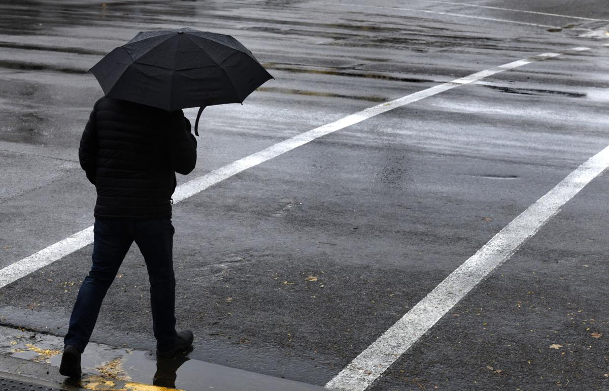
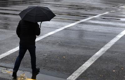
UPDATE: A pair of crashes on Interstate 90 near Reserve Street slowed traffic Thursday morning, with the Department of Transportation citing slick road conditions and warning drivers of slow downs in the area. The Montana Highway Patrol reported more than half a dozen crashes and slideoffs around Missoula throughout the morning.
***
It turned November on Wednesday, but Montana was getting a jump on December.
Snow fell all morning and into the afternoon east of the mountains, along the northern Continental Divide, and in places like the Flathead Valley, where a Kalispell resident shared a photo of her white-glazed picnic table, lawn and backyard fire ring.
Roads on the east side of Flathead Lake, west of Whitefish and up toward Glacier National Park were reported snow-covered by the Montana Department of Transportation, which later added the lower Swan Valley to the list. Most were downgraded to slushy or wet by 3 p.m., though snow was still falling in many locations.
People are also reading…
The timeworn winter phrase "Chains required on towing units" popped up for MacDonald and Rogers passes, as well as an inundated Chief Joseph Pass on the Idaho line in southwestern Montana. On the MDT webcam for nearby Lost Trail Pass, it was hard to see the slick pavement for the snow.
“This is kind of the first big storm of the 2017-18 winter season,” meteorologist Corby Dickerson said at midmorning from the Missoula office of the National Weather Service. “We’re looking at some pretty substantial snow developing across northwestern Montana, with the heaviest amounts up toward Libby and the far northwestern corner of the state.”
By afternoon, the weather service had issued a 30-hour winter storm warning for the Flathead and Mission valleys, in effect from 6 a.m. Thursday until noon Friday. Heavy snow and difficult travel conditions are expected, with snow accumulations of 4-8 inches in general and 9 inches in some spots.
For Polson and points south in the Mission Valley, 2 to 5 inches of snow were predicted.
Dickerson said the big unknown Wednesday was where and when rain would turn to snow to the south. It depended on the behavior of an approaching “backdoor cold front” moving in over the Continental Divide.
It started snowing early Wednesday evening in Missoula.
It’s all good news for hunters (and bad news for the hunted) as snow lines descend toward the third weekend of the big-game season. Even after a slow second weekend, Montana Fish, Wildlife and Parks reported cumulative harvest totals are up over the past three years at Region 2’s three hunter check stations.
And it should make for what Dickerson called “classic football weather,” when the Northern Arizona Lumberjacks come to Missoula to tangle with the Montana Grizzlies at 3:30 p.m. Saturday. Missoula Big Sky and Missoula Sentinel square off in a crosstown playoff game Friday night. Rain or snow and temperatures around freezing are predicted for the 7 p.m. kickoff.
Four other high school teams host quarterfinal playoff games in the region, in Columbia Falls, Hamilton, Eureka and Philipsburg. The Eureka Lions, especially, may see fit to differ with the “classic” label.
Whereas all the other prep playoff games start at 1 p.m. that day, Coach Trevor Utter’s defending State Class B champions won’t take the field against Manhattan/Manhattan Christian until 4 p.m., after the Western B volleyball tournament wraps up in the high school gym.
Dickerson said by Friday there’ll be 4-6 inches of snow on the ground in Eureka, with more possible after that. With overnight lows in the mid-teens and temperatures on Saturday that Dickerson said “will struggle to get to 32,” it’ll feel more like winter.
That’s not normal for early November.
“When the calendar switches to November, it starts to feel a little more reasonable when it’s in the 30s,” Dickerson said. “But truth be told, the normal values for this weekend are highs right at about 50 degrees.”
The forecast for this weekend “is more akin to what we would see at the end of November, so it kind of flipped the month around here,” he said. “It’s going to feel very much more like post-Thanksgiving.”
***
Montana is on track to have more precipitation this winter than normal because it appears that another La Nina event is shaping up in the Pacific Ocean, according to Kelsey Jencso, the Montana state climatologist and an assistant professor at the University of Montana.
“It’s shaping up to be a good winter,” he said. “Moving through the November forecast, if you look at Montana, there’s an increased chance of below-normal temperatures and precipitation is expected to be above average for November. Moving out later in wintertime and even into spring, we’re expecting above-average precipitation.”
For the whole winter, forecasters are less sure of whether temperatures will be above or below average.
"La Nina means that sea surface temperatures in the Pacific Ocean are a lot cooler than normal," Jencso said. "What that means for Montana in the winter and even spring is, it's typically cooler than average as well as more significant precipitation. It's neutral conditions right now but models suggest we are going to move into La Nina in the wintertime, and we have pretty good confidence in that."
This past summer, Jencso explained, the polar jetstream that is usually a conveyor belt of moisture and heat energy from the Pacific moved north, so Montana had consistent high pressures that decreased precipitation and drove drought conditions. Jencso said even if Montana gets more precipitation than usual this winter, a greater snowpack doesn't necessarily mean Montana will get out of the current drought conditions. That's because if springtime temperatures are higher than normal, the high snowpack will be released early in the spring and early summer like it was last year.

Kim Briggeman
Outlying communities, transportation, history and general assignment

David Erickson
Business Reporter


