Many of your industry’s leaders rely on Nearmap for location insights


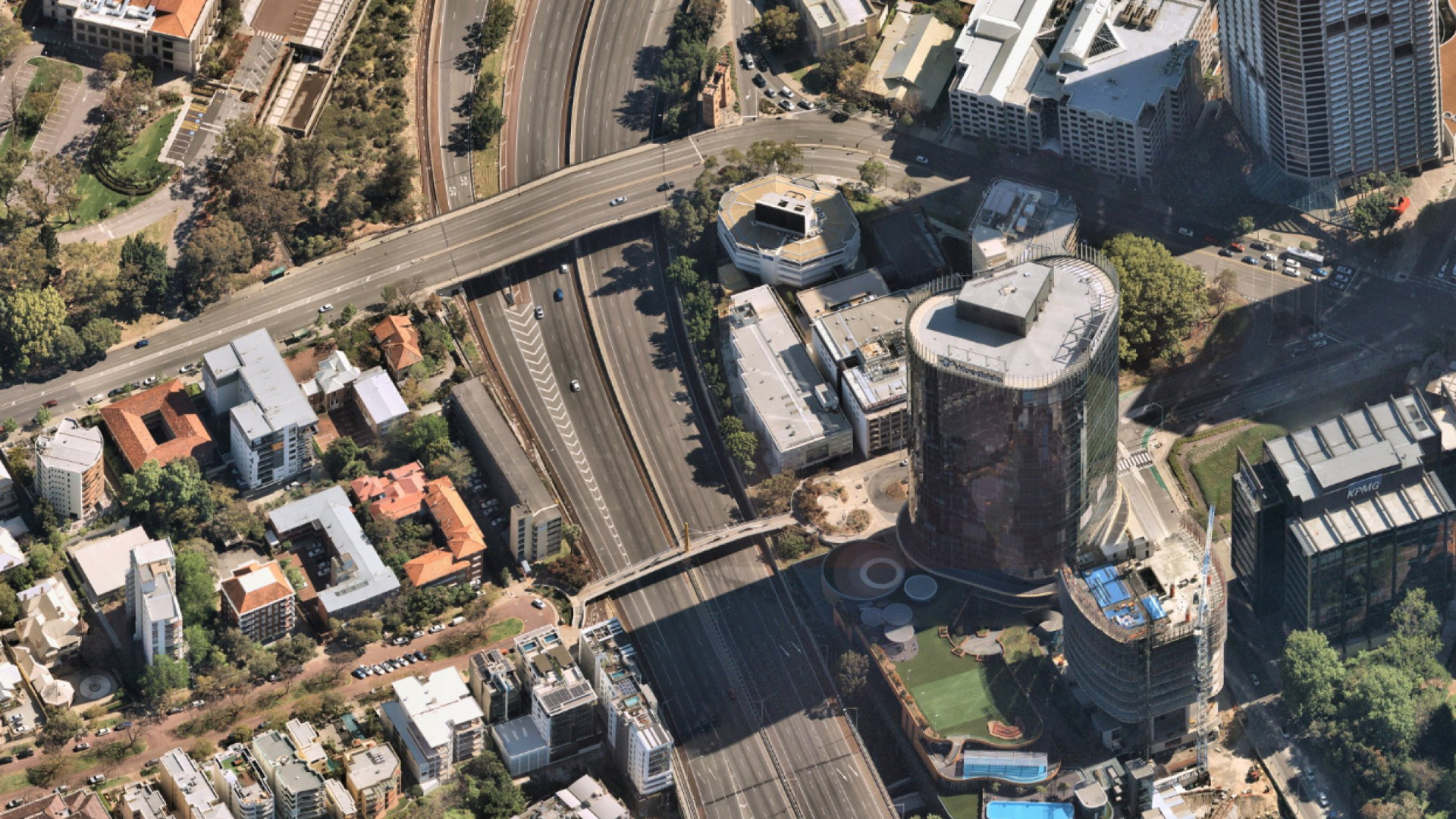
View a consistent level of detail that enables confident measurements and decisions. Nearmap aerial maps are consistently 5.5cm-7.5cm GSD (ground sampling distance) per pixel. You get unrivalled clarity, precision, and fine features that are several times sharper than free satellite images.
Can you see what a location or property looked like months or years ago? Nearmap lets you see change over time to get a clearer story. With surveys flown up to 6 times a year in metropolitan areas, you get a better view of how locations change as projects progress.
JUN 2013 - AUG 2023 | OPTUS STADIUM, WA AU
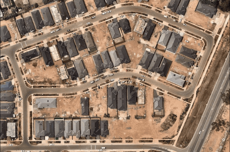
View incredible detail with our high resolution aerial maps. Satellite images are often blurred by weather or atmospheric conditions. Nearmap captures aerial photos year-round under the best possible conditions, so you can understand the critical details of your project or asset.
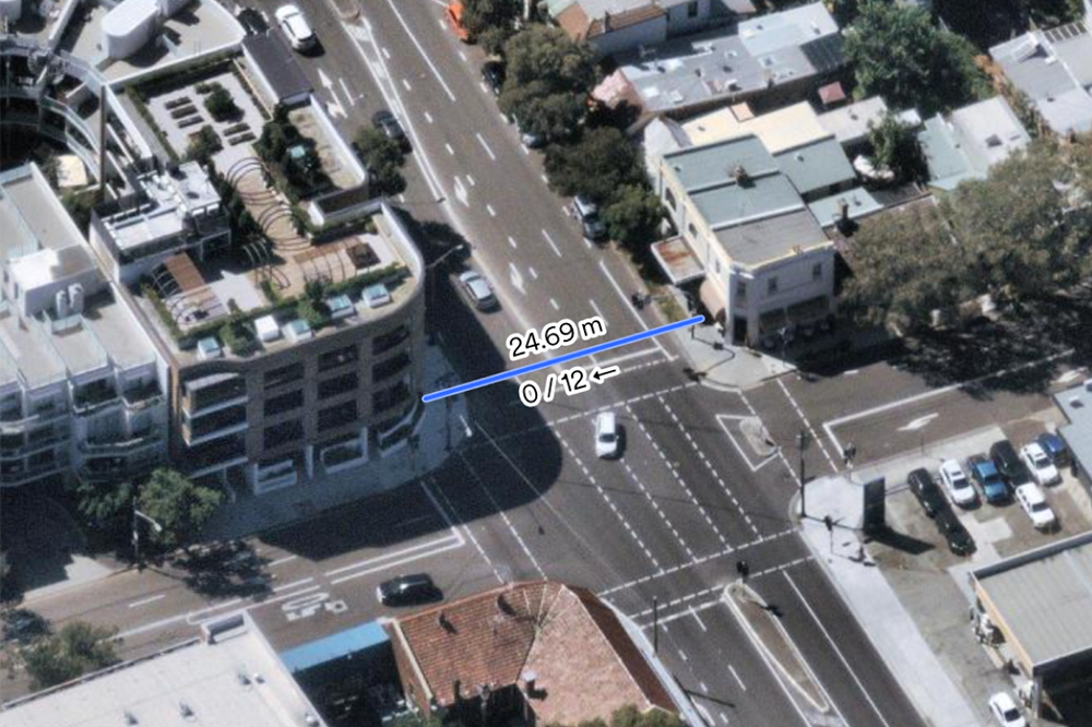
Get the tools you need to discover insights that matter. Measure aerial views with line, area, radius, height, width, and roof pitch or multiple areas. Export georeferenced maps with annotations, overlay data, and save your project within MapBrowser for collaboration with colleagues or customers.