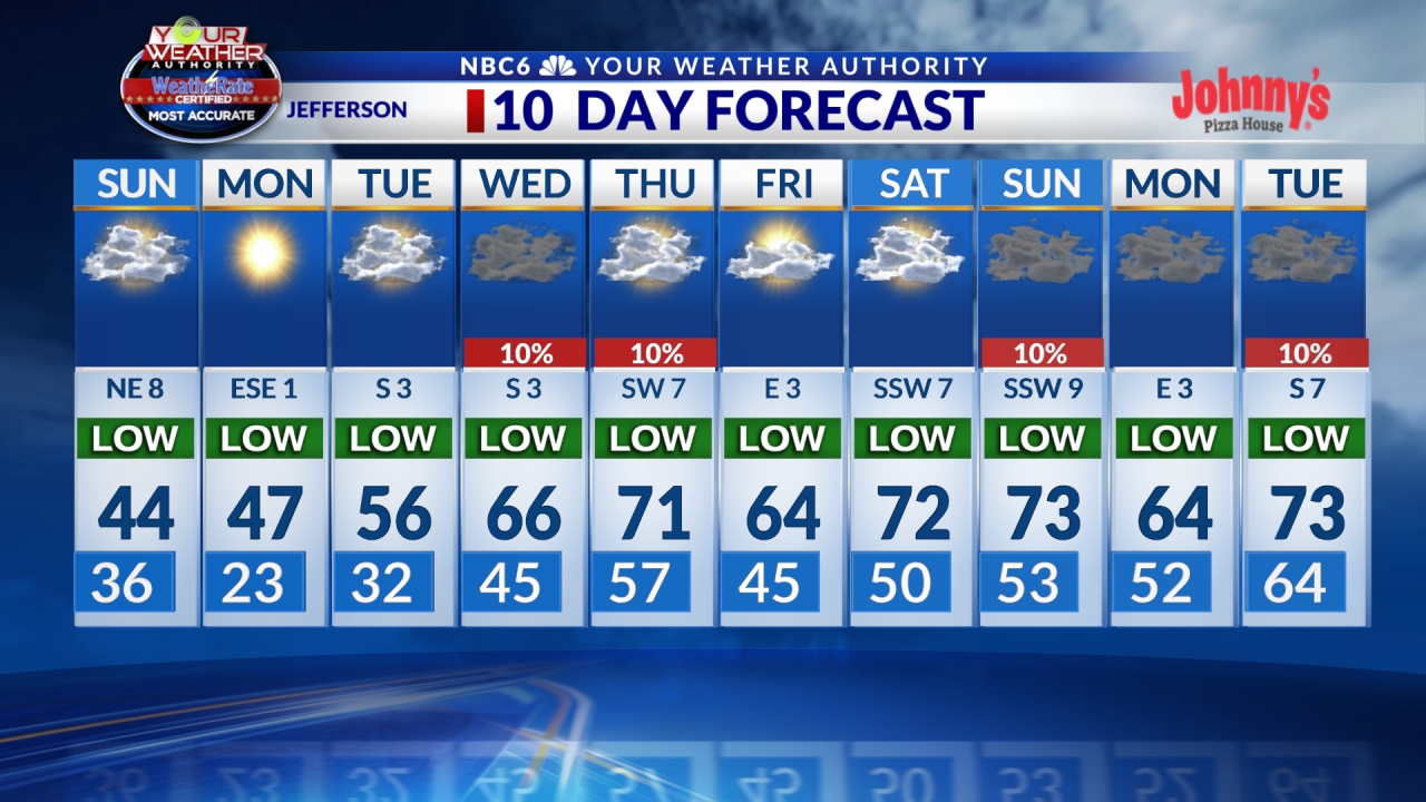
SHREVEPORT, La. (KTAL/KMSS) – A very active weather pattern is setting up for the next 7 to 8 days, it will be difficult to find the sunshine after today so soak in some of the rays on what will be a pleasant Monday.
It’s starting out clear and cold this morning with temperatures in the 20s and 30s. There isn’t a lot of frost, but you may want to give yourself a few extra minutes to give the windshield a scrape. High pressure will slide east today and that will bring a south wind off the Gulf Of Mexico for much of the day which will push our high temperatures into the low and mid-60s. It may be breezy at times with wind speeds between 10 and 15 miles per hour late this morning and into the afternoon.
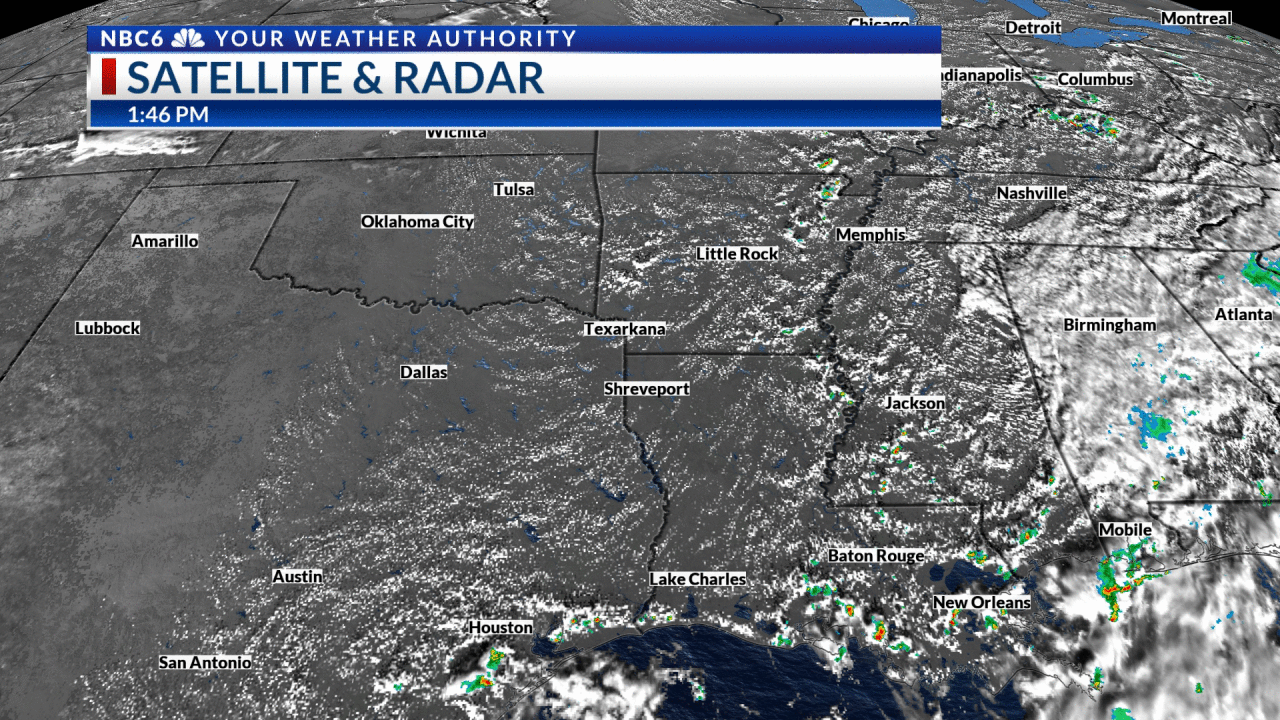
We will enjoy sunshine for much of the day, but there will be an uptick in mid/upper clouds this afternoon and evening. Our next cold front will be arriving in the northern ArkLaTex tonight, and we could see a few rain showers develop before midnight across the I-30 corridor.
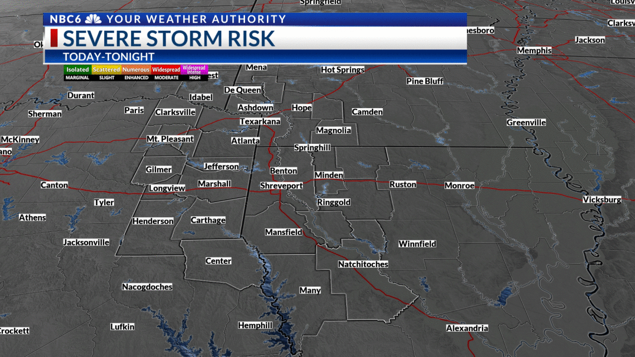
The increase in clouds will keep temperatures in the 40s overnight, and the slow-moving front will carry rain south towards the I-20 corridor early Tuesday morning. The front is forecast to stall near or south of I-20 tomorrow, this will keep scattered showers ongoing across east Texas and Louisiana during the day. Rainfall accumulations look light with this first round, and there is no threat of severe weather.
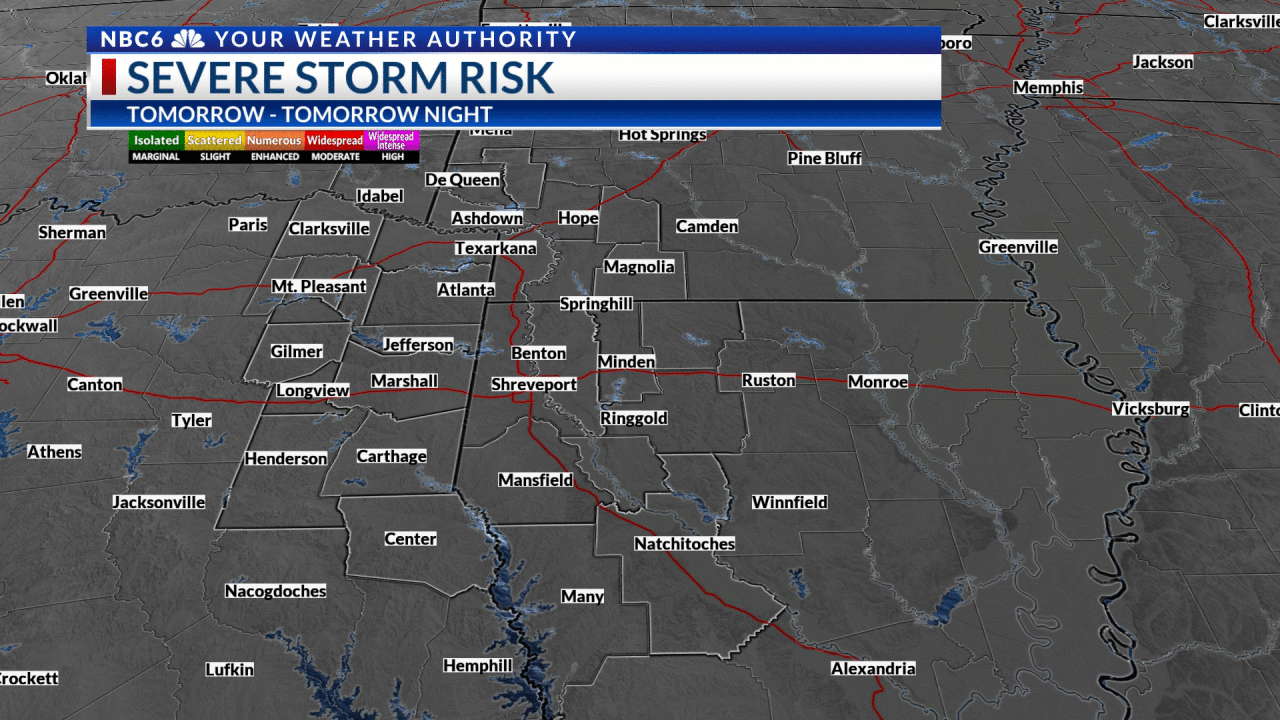
We may see a bit of a break from rain Wednesday, but as a strong upper-level low moves across the country Thursday/Friday it will bring the front back north as a warm front. This puts the ArkLaTex in an area favorable for rain and scattered thunderstorms Thursday and especially Friday. There remains some uncertainty as to where the front will set up, and where the heaviest rain will be, but this will need to be monitored. Right now forecast accumulations are in the 1 to 2-inch range between now and Friday night, but it’s possible we could see higher amounts lead to the potential for a flash flood threat. The severe weather threat also looks low late this week, but this could change if we tap into warmer air late in the week (which is currently not expected to happen).

Temperatures will stay mild throughout the week with overnight lows in the 40s and 50s, and daytime highs in the 50s and 60s.
A break from rain is expected Saturday, but another cold front will bring an increasing chance of rain late Saturday into Sunday and Monday of next week.