‘November witch’ to hit northern US in chaotic double storm forecast
Flood watches are in place

The latest headlines from our reporters across the US sent straight to your inbox each weekday
Your briefing on the latest headlines from across the US
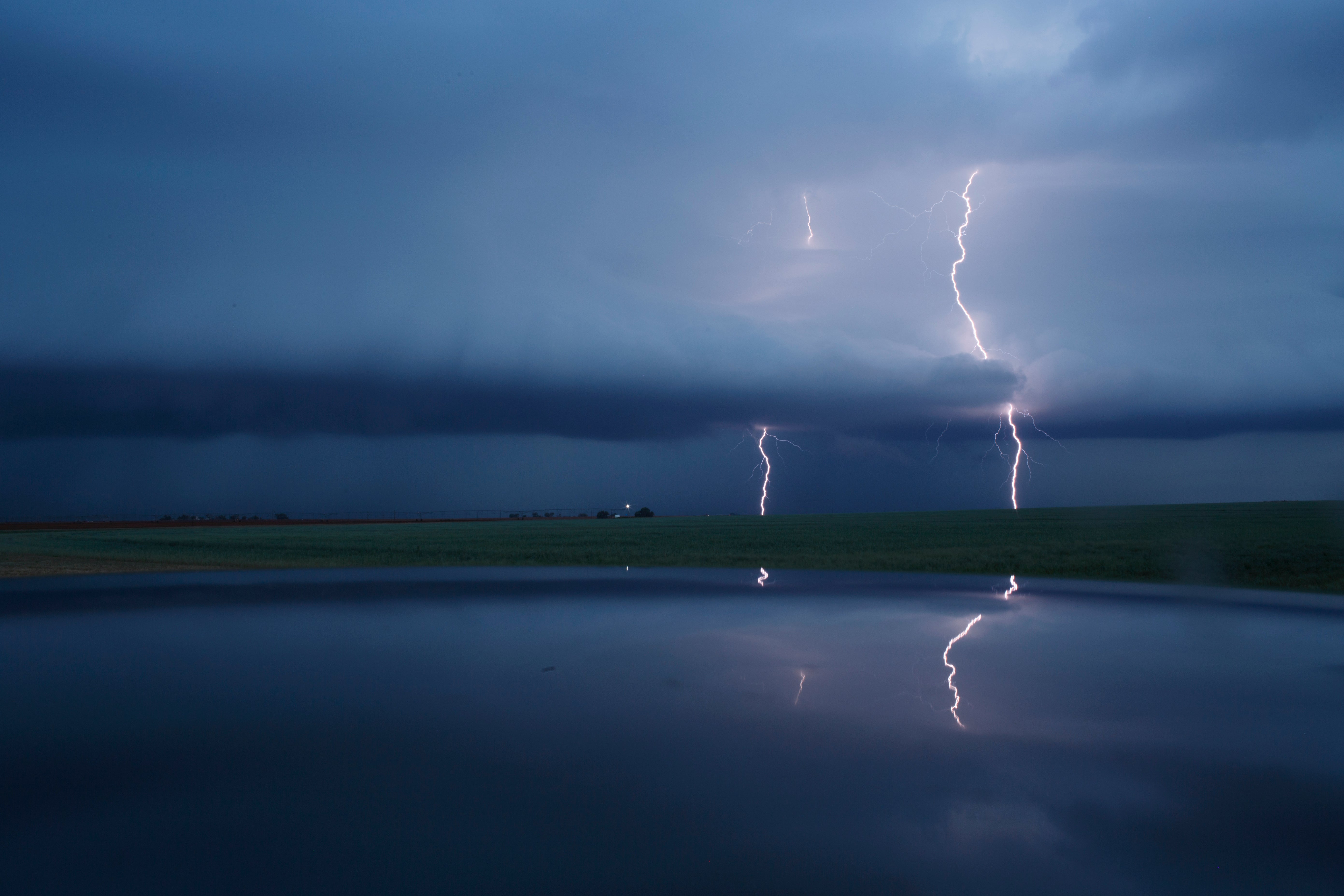
Two powerful storm systems are walloping parts of the nation’s northern tier and are expected to cause serious disruptions and travel headaches through Friday.
A concentrated strip of deep atmospheric moisture, known as an atmospheric river, is blasting the Pacific Northwest with heavy rain and mountain snow. And, in the Upper Midwest, an intensifying, windy storm, sometimes referred to as a “November witch,” is unleashing pasty, wind-whipped snow in northern and western Minnesota and the eastern Dakotas.
The atmospheric river, drawing tropical Pacific moisture from as far away as Hawaii, has prompted flood watches through Friday for western Washington state and northwest Oregon. Seattle and Portland, Ore., are included in the watch, with river flooding the primary concern.
In the Upper Midwest, the November witch has prompted a blizzard warning through Friday evening for northeast South Dakota and a sliver of west-central Minnesota. Here, the combination of several inches of snow and wind gusts up to 55 mph could create whiteout conditions and extremely difficult travel.
The turbulent conditions in the Pacific Northwest and Upper Midwest are typical of weather patterns in La Niña events, which are characterised by cooling waters in the tropical Pacific Ocean. The cooling waters set off a chain reaction, which often steers storms across the northern United States during winter. What we’re seeing now is probably a sign of things to come.
The Pacific Northwest is bracing for a drenching shot of heavy rain from an atmospheric river, coming on the heels of a similar setup that dropped two to four inches of rainfall earlier this week. Numerous rivers in Washington state are forecast to rise to major to moderate flood stage through Friday.
Also possible are debris flows, mudslides and flooding near streams and poor drainage areas.
Wednesday featured heavy rainfall as a decaying atmospheric river began to withdraw, with a widespread two to four inches falling. A total of 4.62 inches was reported in Yachats, west of Eugene, Oregon, with the observer writing, “I didn’t expect to go outside and see the rain gauge almost half full!”
Most places along the shores of the Pacific Northwest have seen a foot and a half of water in just the past month, thanks to an extraordinarily active and wet pattern. An astonishing 30.6 inches have fallen near Quinault in Grays Harbor County, Washington.
“Rainfall amounts of 3-8 inches over the past 7 days has led to high soil moisture levels across western Washington,” the National Weather Service wrote. “Additional rainfall . . . will continue to put extra pressure on soil instability and lead to an increased threat of landslides.”
At present, an atmospheric squeeze play of sorts, characterized by low pressure over the northeast Pacific and high pressure from northern Nevada to the Columbia River Basin, is sweeping ashore a ribbon of deep tropical moisture. That new, invigorated atmospheric river setup could reach a level 4 out of 5 on the Centre for Western Weather and Water Extremes’ atmospheric river scale.
Light to moderate rain was falling Thursday across the northern half of coastal Oregon and adjacent southwest Washington, with indications that rain will increase in areal coverage and intensity as the fire hose of moisture remains pointed at the Pacific Northwest through Friday evening. Because atmospheric rivers carry most of their moisture a couple of miles above the ground, precipitation totals vary significantly depending on land elevation.
Seattle, which is nestled between mountain ranges close to sea level, may wind up with an inch or two of rain through Saturday night, while the Olympic Mountains and Cascades could see four to eight inches at their peaks. That may fall as several feet of snow on the highest summits.
Snow levels will remain around 9,000 feet, although atmospheric rivers transport plentiful moisture, their tropical origins often advect, or truck in, a supply of warm air.
While the ongoing atmospheric river should drift south and disintegrate on Saturday, it appears that a continued active pattern will bring renewed atmospheric river events and very heavy precipitation totals to the Pacific Northwest through the remainder of the month.
The strengthening storm in the Upper Midwest originated from a cyclone offshore the Pacific Northwest early this week that flung heavy precipitation inland.
November is a prime time for intense storms in the Upper Midwest and Great Lakes, as winter’s first frigid breaths from Canada collide with retreating warmth over the Lower 48 states. Historically, even more extreme storms have explosively developed, unleashing hurricane-force winds and excessive precipitation, earning them the moniker “witches of November.” The most infamous such storm sank the Edmund Fitzgerald freighter on Lake Superior on 10 November 1975, with the entire crew of 29 perishing.
The current storm is not in the same league as the 1975 event but has begun to produce snow in northern Minnesota and the Dakotas.
The worst conditions are still to come as the storm draws more cold air southward on its backside and winds increase. Snowy, windy conditions are set to expand over much of Minnesota, the eastern Dakotas and northern Iowa on Thursday night, with the most severe conditions lasting into Friday morning.
In parts of western South Dakota, damaging gusts up to 70 mph are possible, prompting high wind warnings, although snow is not expected there. Over northeastern South Dakota, where snow and gusty winds up to 55 mph coincide, near-whiteout conditions are possible, prompting the blizzard warning.
“The combination of strong winds and falling snow will significantly reduce visibility,” wrote the Weather Service office in Aberdeen, South Dakota “Patchy blowing snow will add to the hazardous driving conditions, which are expected to impact the Friday morning commute.”
Surrounding the blizzard warning, the Weather Service has issued winter weather advisories into Friday for much of western Minnesota, central and eastern North Dakota, southeast South Dakota, and northwest Iowa, because of the combination of snow and wind. In most of these areas, two to four inches of snow and wind gusts of at least 40 mph are likely.
The most snow, up to about eight inches, is expected in extreme northern Minnesota, where a winter storm warning is in effect through Friday.
To the south, although Minneapolis could see rain change to wet snow Thursday night into Friday morning, temperatures are predicted to be too mild for much accumulation.
Snow should dissipate over the region by Friday afternoon, although very strong winds will linger until early Saturday.
Late Saturday into Sunday morning, a trailing, weaker weather disturbance will bring another period of snow to the same region. This time, conditions may be cold enough for a little accumulation in the Twin Cities. The system also may bring accumulating snow to southern Wisconsin and Michigan on Sunday as it zips eastward.
The Washington Post
Subscribe to Independent Premium to bookmark this article
Want to bookmark your favourite articles and stories to read or reference later? Start your Independent Premium subscription today.
Join our commenting forum
Join thought-provoking conversations, follow other Independent readers and see their replies