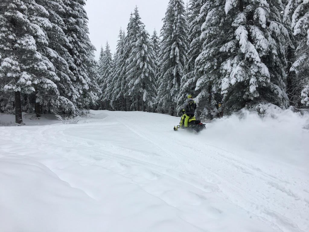
The Lower Columbia Basin’s snowpack is currently above average for this time of year, but despite persistent rain and snow in the mountains, it’s too early to say how the winter will shape up.
The region has a snowpack of 208 percent of normal for this time of year, according to the U.S. Department of Agriculture’s Natural Resources Conservation Service National Water and Climate Center. That puts the local snowpack high above the state average of about 130 percent.
To put in simpler terms, there is about twice as much snow in the watershed as there would be normally at this time of year when considering the historical snowpack average, National Weather Service Hydrologist Andy Bryant said.
The percentage is a calculation of the snowpack for the area based on multiple sites, with varying measurements. For example, the site at Swift Creek, located in Skamania County at 3,770 feet, shows a snow depth of 30 inches. If that snow were to melt, it would result in about 8 inches of water. At the Spencer Meadows site, at 3,400 feet of elevation west of Swift Creek, the snow depth is at 16 inches.
“There’s certainly been some snow at 3,000 to 4,000 feet, or higher areas, in the past couple of days, but it’s still too early to say how much (of the snowpack) will last,” Bryant said.
Over the past week or so, the snowpack has increased significantly above average totals, but water conservation officials “don’t want to get too excited,” said Scott Pattee, a water supply specialist with the Natural Resources Conservation Service.
“It’s all dependent on weather cycles that come through the area as we move into December and beyond,” Pattee said.
It’s a La Nina year, Pattee said, which typically means a cooler and wetter season. That bodes well for the yearly snowpack, he said.
“It’s looking like a good start, but we’ll have to wait and see,” Pattee said.
Rain is expected to stick around Clark County until at least Thursday, according to the weather service.
Rain is forecasted Wednesday for Vancouver before 10 a.m., then showers and possibly a thunderstorm are expected throughout the day. The temperature is expected to reach 52 degrees, cool enough at lower elevations that the mountains may get more snow.
Showers are again likely Thursday in Vancouver and elsewhere in the county, and then starting Friday, the temperature will begin to slowly drop into the high 40s, which should be accompanied by patchy morning fog.