Nashville weather: Skies clear in Middle TN after severe storms, high winds, hail
Severe storms moved through Nashville and Middle Tennessee Tuesday and into the early hours of Wednesday morning, triggering several severe thunderstorm warnings and spurring reports of downed branches, power outages and hail.
Any lingering showers are expected to move out by mid-morning Wednesday. After that, sunny skies and highs in the mid-40s and lower-50s expected.
Spotters reported up to golf-ball sized hail in Dickson County as the storm passed through. Quarter-sized hail was spotted in Cheatham County. People in the western part of Davidson County also reported a brief burst of pea-sized hail.
Speedway on 46 Dickson at 6pm. “Easily half dollar size” Sent via FB Messenger #tSpotter pic.twitter.com/KMNGeDR9xG
— DicksonSevereWx (@DicksonSevereWx) November 30, 2022
Wind gusts reached up to 60 mph across Middle Tennessee.
Thousands of Nashville Electric Service customers were without power early Wednesday morning. Service was largely restored as of 9:45 a.m., according to an NES outage map.
"Thankfully we did not have any significant damage in Middle TN last night," NWS Nashville tweeted Wednesday. "Many Tennesseans got a soaking rain with more than 2 inches in many areas. Also, winds were quite gusty through the night with widespread winds of 30 to 40 mph."
Thankfully we did not have any significant damage in Middle TN last night, but we did have a few reports of large hail. Many Tennesseans got a soaking rain with more than 2 inches in many areas. Also, winds were quite gusty through the night with widespread winds of 30 to 40mph. pic.twitter.com/gi7rkP7qEK
— NWS Nashville (@NWSNashville) November 30, 2022
At least two dead in Southeast after tornadoes; threat continues Wednesday
States south of Tennessee bore the brunt of the storms Tuesday and early Wednesday.
More than 20 possible tornadoes slashed through the Southeast, killing at least two people Wednesday and damaging homes as a line of intense weather rolled from Texas to Georgia and as far north as Indiana.
More than 40 million people remained at risk Wednesday from the vast storm system, AccuWeather warned.
No additional hazardous weather is expected in Middle Tennessee on Wednesday, NWS Nashville said. Another round of rain is expected to kick off Friday night into Saturday morning. Potentially heavy rain will fall over the weekend and into next week.
Storms in the South:At least 2 killed as tornadoes, wild storms continue to march across Alabama, Mississippi, Louisiana
NWS urges weather awareness
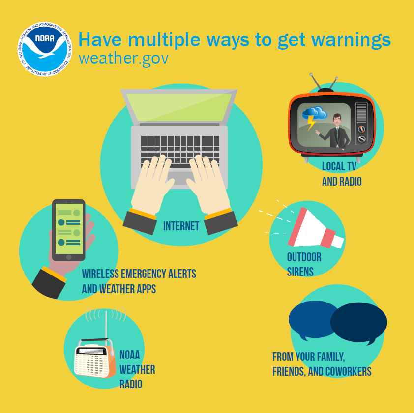
As always, it's important to have multiple ways to get weather alerts, including cell phone push alerts from local media and weather apps; social media updates; local news coverage; and NOAA weather radios.
NWS recommends having an emergency kit you can quickly grab in case of an emergency. It should include essential supplies like food, water, flashlights, batteries, medicine, extra clothing and shoes, toiletries and solar-powered chargers for electronic devices.
"If you get separated from family, make sure you have a place to meet or have an out-of-town contact to let know you are OK," the NWS said.
Learn more about how to prepare for severe weather and make an emergency plan at ready.gov/plan.
Nashville-area radar
Nashville forecast
Wednesday: Sunny. High: 46; Low: 27
Thursday: Mostly sunny. High: 47; Low: 34
Friday: 20% chance of showers after noon, then a 70% chance of precipitation overnight, mainly after midnight. High: 58; Low: 51
Saturday: Showers likely, mainly before noon. Chance of precipitation is 60%. High: 63; Low: 36
Sunday: 40% chance of showers, mainly after noon. More showers likely after midnight, with a 70% chance of precipitation. High: 56; Low: 48
USA Today contributed to this story.
This article originally appeared on Nashville Tennessean: Nashville weather: Severe storms, wind, hail move out of Middle TN

