Estimated read time: 4-5 minutes
This archived news story is available only for your personal, non-commercial use. Information in the story may be outdated or superseded by additional information. Reading or replaying the story in its archived form does not constitute a republication of the story.
SALT LAKE CITY — This year's snow season is officially alone at the top of Utah's snowpack record books.
Friday's storms boosted Utah's statewide snowpack up to 26.1 inches of snow water equivalent, according to Natural Resources Conservation Service data, breaking the record set during the 1983 season. It tied with the 1983 record, at 26 inches, earlier in the day.
The statewide records date back to modern data collection beginning in 1980.
Agency officials tweeted that it's apparently also the largest statewide snowpack since 1952, though snowpack records aren't as reliable as before the modern practice. The update comes after the snowpack surpassed 25 inches Wednesday for only the fourth time and the first since a run of consecutive occurrences between 1982 and 1984.
This year's snowpack hasn't only broken records, it's more than the 2021 and 2022 snowpack seasons combined — and it was still snowing Friday.
Utah's forecast calls for cooler temperatures this weekend with brief warming before another storm mid-week, so there is a good chance the 2023 total will grow even more by the end of March.
Waiting for the melt
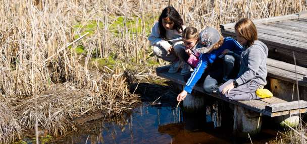
As the snow continues to pile up in the mountains this week, Utah leaders and water managers continue to prepare for when it melts, sending all that water into the rivers and streams that flow in the state's lakes and reservoirs.
Utah Gov. Spencer Cox, who issued an executive order last week tied to flooding preparedness, tweeted about flood risks again on Thursday, noting that Utah will "definitely see flooding" this spring but it will depend upon weather conditions in April, May and June to determine how severe any flooding will be.
"If this continues into late April (or) May things get dicey," he tweeted. "We need 60-degree days to melt mid-elevation and then lots of (70-degree days) to reach higher. No 90s!"
The governor added that new infrastructure in the past four decades, and other factors, such as the state's previous three-year dry spell, are why it's unlikely for flooding to be as serious as it was in 1983.

Candice Hasenyager, the director Utah Division of Water Resources, reiterated this desire for a "gradual melt" in a drought status update earlier this week. She said Tuesday that this is needed in the coming weeks and months so that rivers and streams aren't overwhelmed and flooding isn't a severe problem.
Experts say that gradual melt happened in 2011, the last time Utah's snowpack reached at least 24 inches, and it reduced the severity of the flooding that year. Then-Gov. Gary Herbert still issued a state of emergency over the snowmelt flooding that year; however, the serious flooding began in June, after nearly half of the snowpack had already melted.
"The way our snowpack melts is something our division and the Utah Division of Emergency Management is monitoring closely," Hasenyager said.
As we enjoy watching records like this being broken, it's important to stay conservation-conscious so we can build good water storage for those inevitable dry years that will happen again in the future. https://t.co/Rpu78VUt7A
— Utah Division of Water Resources (@utahwaterres) March 24, 2023
The storms have already improved Utah's statewide reservoirs, which jumped from 42.5% of capacity at the beginning of the water year on Oct. 1 to 55.6% as of Friday, according to the division's data. The current figure is now above where reservoir water levels were at this point last year and less than 6 percentage points below the normal levels for late March.
Troy Brosten, a hydrologist and Natural Resources Conservation Service, told KSL.com last week that many small and medium-sized reservoirs are expected to return to near capacity or full capacity this year, while most large reservoirs will likely take longer.
But no matter what happens during the snowmelt season, Hasenyager said the state should take advantage of the opportunities the wet weather has provided this season.
"We have a chance to take full advantage of this year's snowpack by taking steps to be drought resilient," she said. "If you're a farmer, check out the Agricultural Optimization Program and if you're a resident, look for tips and tricks on Slow The Flow. All the water provided by Mother Nature means we don't need to irrigate as much to make things grow."