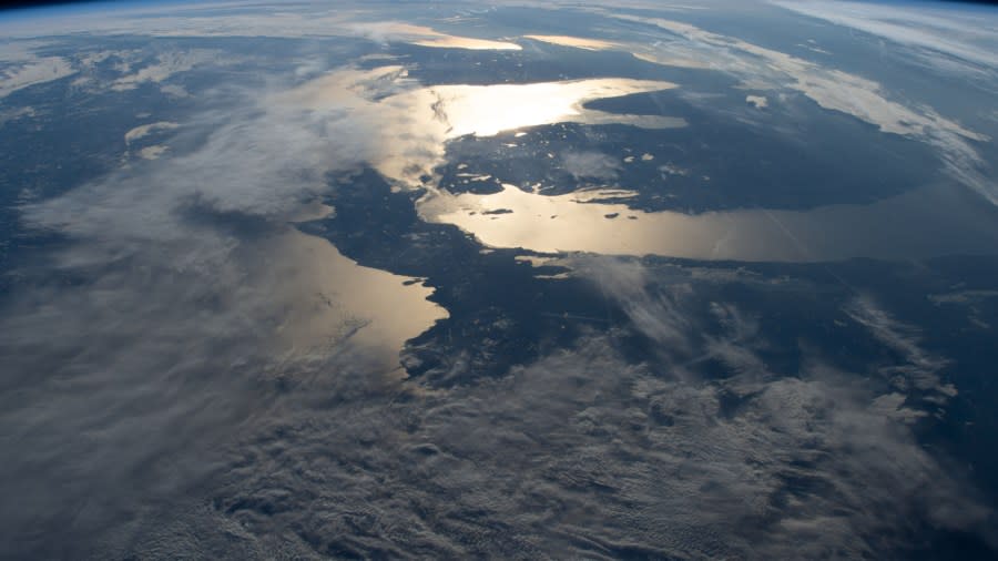
International Space Station captures crystal clear shot of Michigan

GRAND RAPIDS, Mich. (WOOD) — A new photo from the International Space Station is showing off Michigan’s true beauty.
The pic was snagged at 8:43 a.m. ET on Monday as the ISS was soaring above North America. NASA’s map shows the space station was near the North Dakota and Minnesota state border, and just south of Canada when the picture was taken looking east.
The picture was taken with a Nikon D4 camera and a 65mm lens.

From 224 nautical miles up, you can clearly see both of Michigan’s peninsulas and the sun reflecting off of Lake Huron and northern Lake Michigan.
Because of the photo’s clarity, you can even make out some notable landmarks across the state, including some inland lakes, Beaver Island and Old Mission Point jutting out into Grand Traverse Bay.
NASA’s photo page also includes a zoom tool for you to use to get a closer look.
For the latest news, weather, sports, and streaming video, head to WOODTV.com.

