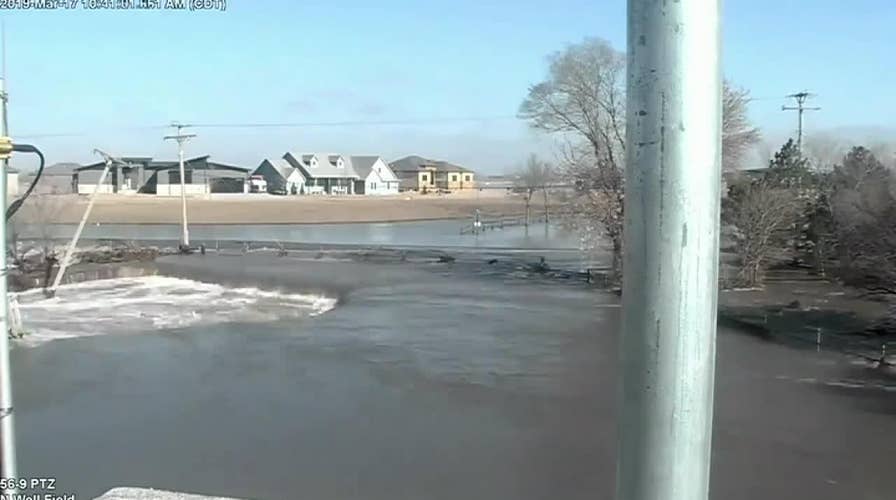
Water from Thomas Lake floods the city of Lincoln, Nebraska
Raw video: Footage captured from security camera shows water from Thomas Lake flooding the city of Lincoln, Nebraska. Electricity poles, lines seen falling as a result of breach.
A rush of water that flooded a wellfield for the water system of Nebraska’s capital on Sunday and spawned restrictions can be seen in a stunning time-lapse video.
The Lincoln Police Department posted the video to Twitter from the flooding at Thomas Lake that was captured on a security camera. The well fields sit near Ashland, about 22 miles northeast of Lincoln.
In the nearly hour-long video sped up to 25 seconds, the water from record flooding along the Platte River can be seen eroding away the land as it rushes into the area.
"Notice the electricity from the power pole as it gets sucked into the water," police said. "The ground crumbles into the water."
NEBRASKA FLOODS SWAMP AIR FORCE BASE, AS DEVASTATION FROM 'BOMB CYCLONE' SEEN IN SATELLITE PHOTOS
The power poles and lines eventually fall down as the soil washes away, and electrical arcs can be seen as the live power lines fall into the flood waters.

Cars are stuck in floodwaters Tuesday, March 19, 2019, in Fremont, Neb. (Brendan Sullivan/Omaha World-Herald via AP)
The breach, in addition to other complications due to the flooding, led to water restrictions on Sunday night.
Lincoln Mayor Chris Beutler said the system lost temporarily lost pressure Sunday evening. It was again producing drinkable water by 9:30 p.m., but the city officials said a partial power loss at the wellfields has created a "tenuous situation."
First responder on Midwest flooding: We've been through a lot but we're not going to quit
Pat Tawney, fire captain in Fremont, describes battling the historic flooding in Nebraska.
"All Lincoln Water System users must immediately follow the mandatory water use restrictions. The need for restrictions is being evaluated on a daily basis," city officials said online. "The restrictions will be lifted as soon as repairs are made to increase production."
Residents are asked to reduce their water usage by 50 percent, while industrial, commercial and institutional users have been asked to reduce their consumption by 25 percent.
MIDWEST FLOODS DEVASTATE NEBRASKA CITY, LEAVING MANY WITHOUT HOMES
Officials said that water usage Sunday likely drew down the 100 million gallons stored inside city limits. Ten million more gallons are stored in Ashland.
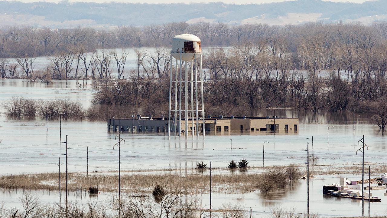
This Monday, March 18, 2019 photo taken by the South Dakota Civil Air Patrol and provided by the Iowa Department of Homeland Security and Emergency Management, shows flooding along the Missouri River in rural Iowa north of Omaha, Neb. (Iowa Homeland Security and Emergency Management via AP)
Water contamination is not a concern because the water is drawn from the aquifer 80 feet below the river surface and the city's two water treatment facilities are operational, according to officials.
CLICK HERE FOR THE FOX NEWS APP

Pence promises help is on the way for flood-hit towns in Midwest
The vice president says federal relief requests will be expedited during a visit to Nebraska; Mike Tobin reports.
The opportunity for system workers to check the wellfields and lines and restore power depends on water in the river receding.
The National Weather Service says the river continues to run high near the wellfields as of Wednesday morning but has dropped just below flood stage to 19.5 feet since cresting Saturday morning.
"The river is expected to continue to run high through Wednesday, mostly below flood stage," the NWS said. "The river is at bankfull and overflows begin onto farmlands on both sides of the gage."
The Associated Press contributed to this report.

The hottest stories ripped from the headlines, from crime to courts, legal and scandal.
