


1 of 12
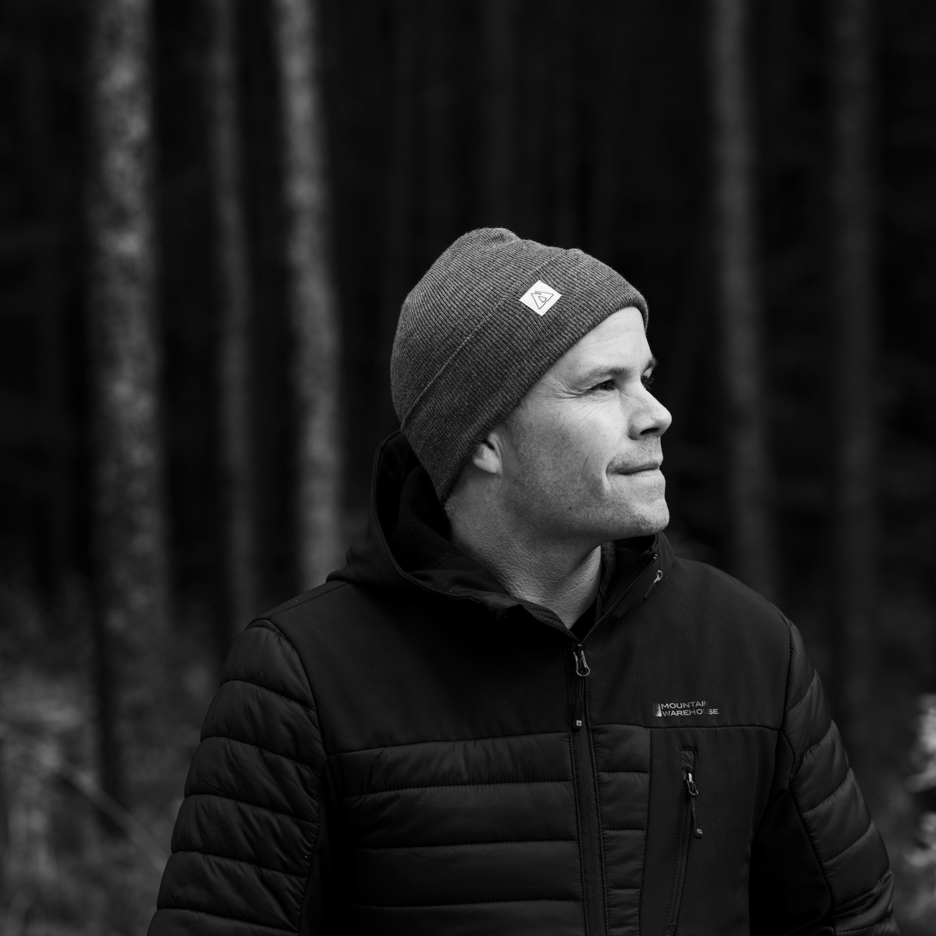
Photograph by Caleb Kenna
Want dreamy winter photos? Take to the air with a drone
Photographers use flying cameras to create otherworldly images of snow and ice. Here’s how you can get similar effects.
ByJennifer Barger
Photographs byCaleb Kenna
February 09, 2021
7 min readSoaring a hundred or more feet in the air, a drone camera captures hawk’s-eye views—and dazzlingly abstract patterns—normally impossible for earthbound humans. Thanks to a range of price points and skill levels, the flying cameras (or drones that take existing equipment for a ride) can be deployed by both professional and amateur photographers with equally ethereal results.
Middlebury, Vermont photographer Caleb Kenna uses the superpowers imparted by his DJI Mavic-2 drone camera to turn his home state’s bucolic farmland, winding rivers, and wild forests into cubist-meets-impressionist dreamscapes all year. Winter is his favorite season to take the drone out. “The snow is a wonderful canvas where you find shadows of trees and buildings,” says Kenna. “Add sunlight, and you can get some beautiful blues.”
Once you know the basics—how to pilot the gizmos, where you can’t use them—drones offer ample opportunities to let creativity take flight.
Pro tip: Know FAA drone rules
“Several years ago, I excitedly bought a small, mid-priced drone, downloaded the app, charged it up, and turned it on,” says Brendan McCabe, a photo editor at National Geographic. “The blades whirled, the lights blinked, and it slowly lifted a few feet off the ground. Magic! My kids clapped excitedly at the prospect of having our own flying machine.”
(Nat Geo photographers reveal how to take better digital pictures.)
McCabe lives in Washington, D.C., which has some of the most restricted airspace in the United States. “As quickly as it started, the GPS in the app figured out where we were, and the drone promptly landed and shut itself down,” he says. “Drones are prohibited here.”
The Federal Aviation Administration maintains a detailed website—and an app indicating “blue zones” where anyone can fly a drone at 400 feet or lower. Know that you’ll need to register any drone with them before taking it out, and that commercial photographers who sometimes get permission to shoot in restricted airspace must obtain special licenses and permissions. In general, shooting airborne images in rural areas or natural settings far from big cities is unrestricted.
Pro tip: Don’t always go high
“As a photographer you are always looking for a fresh perspective, whether it’s up on a ladder or on your knees. So being able to go up 20, 30, or 400 feet is exciting,” says Kenna. “With a drone camera, your first inclination is to go as high as possible. But I like coming down lower—say 50 feet, not 400—and doing a bird’s-eye, straight-down shot.”
Kenna thinks these lower heights produce more exciting, abstract images. “It helps me make discoveries while I’m in the air,” he says. “In Vermont, we have lots of rivers, forests, and farmland, and the drone can make those into something totally different.”
Pro tip: Try automatic exposure
It can be difficult to judge the exposure on a drone camera by peering into the display on the control. “It’s bright out, there is glare from the sky, and it’s very hard to see the image well enough to accurately judge exposure,” says National Geographic Magazine staff photographer Mark Thiessen. “Most modern drones have a feature called Auto-Exposure Bracketing (AEB) that can help make sure you have an accurate exposure.”
(These dramatic drone photos capture the world from above.)
With the AEB turned on, the camera automatically takes three or more photos at different exposures, says Thiessen. “Later, you can select one of the images with the most desirable exposure or you can use special software to combine them all into one shot. This can be very handy when working with high contrast scenes, like the bright setting sun or the landscape below in shadow.”
Pro tip: Shoot at the ‘golden hour’
The same midday rays that cause sunburns can also overexpose photographs, whether they’re produced on a drone or phone. That’s why Kenna counsels going out during the so-called “golden hour”—the time surrounding sunrise and sunset.
“Shooting early in the day often means you’ll capture the best shadows,” he says. “I also often shoot at twilight and use a longer exposure to capture the balance of daylight and night coming on. You can get car lights blurring and that beautiful ‘blue hour.’”
Pro tip: Use the rule of thirds
“Scenic shots with the horizon smack in the middle of the frame are boring,” says Thiessen. Like many photographers, he uses the “rule of thirds” to keep from taking precisely centered images (aka no high-school yearbook mug shots). “Imagine a tic-tac-toe grid of lines superimposed on the image in your viewfinder: One-third from the top, one-third from the bottom, and one-third from both sides,” he says. “Some drones have a setting that overlays a grid on your image.”
To create more compelling photos, “let the more important and interesting portion [of the subject] occupy a larger proportion of the frame,” he says. “Arrange your composition so that the most significant item is placed on one of the four areas where the vertical and horizontal lines intersect. This will help you achieve balance.”
Jennifer Barger is a senior editor at National Geographic Travel. Follow her on Instagram.
Caleb Kenna is a Vermont-based photographer and drone pilot. Follow him on Instagram.
Related Topics
You May Also Like

You May Also Like


Go Further
Animals
- Soy, skim … spider. Are any of these technically milk?Soy, skim … spider. Are any of these technically milk?
- This pristine piece of the Amazon shows nature’s resilienceThis pristine piece of the Amazon shows nature’s resilience
- Octopuses have a lot of secrets. Can you guess 8 of them?
- Animals
- Feature
Octopuses have a lot of secrets. Can you guess 8 of them?
Environment
- This pristine piece of the Amazon shows nature’s resilienceThis pristine piece of the Amazon shows nature’s resilience
- Listen to 30 years of climate change transformed into haunting musicListen to 30 years of climate change transformed into haunting music
- This ancient society tried to stop El Niño—with child sacrificeThis ancient society tried to stop El Niño—with child sacrifice
- U.S. plans to clean its drinking water. What does that mean?U.S. plans to clean its drinking water. What does that mean?
History & Culture
- Gambling is everywhere now. When is that a problem?Gambling is everywhere now. When is that a problem?
- Beauty is pain—at least it was in 17th-century SpainBeauty is pain—at least it was in 17th-century Spain
- The real spies who inspired ‘The Ministry of Ungentlemanly Warfare’The real spies who inspired ‘The Ministry of Ungentlemanly Warfare’
- Heard of Zoroastrianism? The religion still has fervent followersHeard of Zoroastrianism? The religion still has fervent followers
- Strange clues in a Maya temple reveal a fiery political dramaStrange clues in a Maya temple reveal a fiery political drama
Science
- NASA has a plan to clean up space junk—but is going green enough?NASA has a plan to clean up space junk—but is going green enough?
- Soy, skim … spider. Are any of these technically milk?Soy, skim … spider. Are any of these technically milk?
- Can aspirin help protect against colorectal cancers?Can aspirin help protect against colorectal cancers?
- The unexpected health benefits of Ozempic and MounjaroThe unexpected health benefits of Ozempic and Mounjaro
- Do you have an inner monologue? Here’s what it reveals about you.Do you have an inner monologue? Here’s what it reveals about you.
Travel
- Follow in the footsteps of Robin Hood in Sherwood ForestFollow in the footsteps of Robin Hood in Sherwood Forest
- This chef is taking Indian cuisine in a bold new directionThis chef is taking Indian cuisine in a bold new direction
- On the path of Latin America's greatest wildlife migrationOn the path of Latin America's greatest wildlife migration
- Everything you need to know about Everglades National ParkEverything you need to know about Everglades National Park
