Nashville weather radar: Track Winter Storm Izzy, possible snow accumulation
Middle Tennessee is bracing for a winter storm this weekend as a weather system being referred to by The Weather Channel as Winter Storm Izzy crosses the eastern United States.
The National Weather Service has reported that 3-7 inches of snow is possible in the area.
The "major winter storm" is expected to move across Middle Tennessee Saturday night through Sunday, the National Weather Service said. A winter storm watch will take effect for the entire region at 6 p.m. Saturday and last through 6 p.m. Sunday.
Nashville forecast: Winter storm watch takes effect Saturday for Middle TN; 3-7 inches snow possible
Winter weather: Forecaster: Multiple snowfalls over an inch 'fairly rare' for Nashville winters
Winter storm preparedness: These are the 10 emergency products to always have in your car in the winter
Snow survival: Need to shovel the driveway or drive in the snow? Tips on how to deal with the white stuff this winter
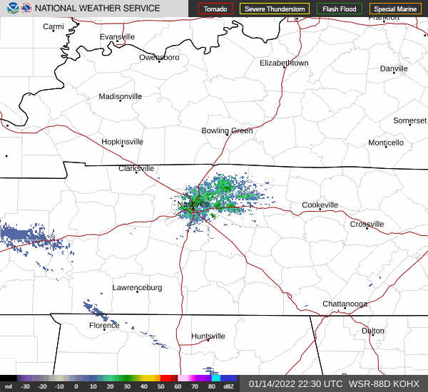
Radar: Track Winter Storm Izzy's path
The radar below shows where the current storm system is over Nashville.
(Refresh the page for the latest radar loop)
Having trouble seeing the radar? Click this link.
This article originally appeared on Nashville Tennessean: Nashville weather: Track Winter Storm Izzy, snow totals
