AUSTIN, Texas — Editor's note: This blog is no longer being updated. Click here for the latest forecast.
With the solar eclipse now in the rearview mirror, we’re starting to look ahead to an active weather pattern over the next 24 hours with multiple chances for severe weather.
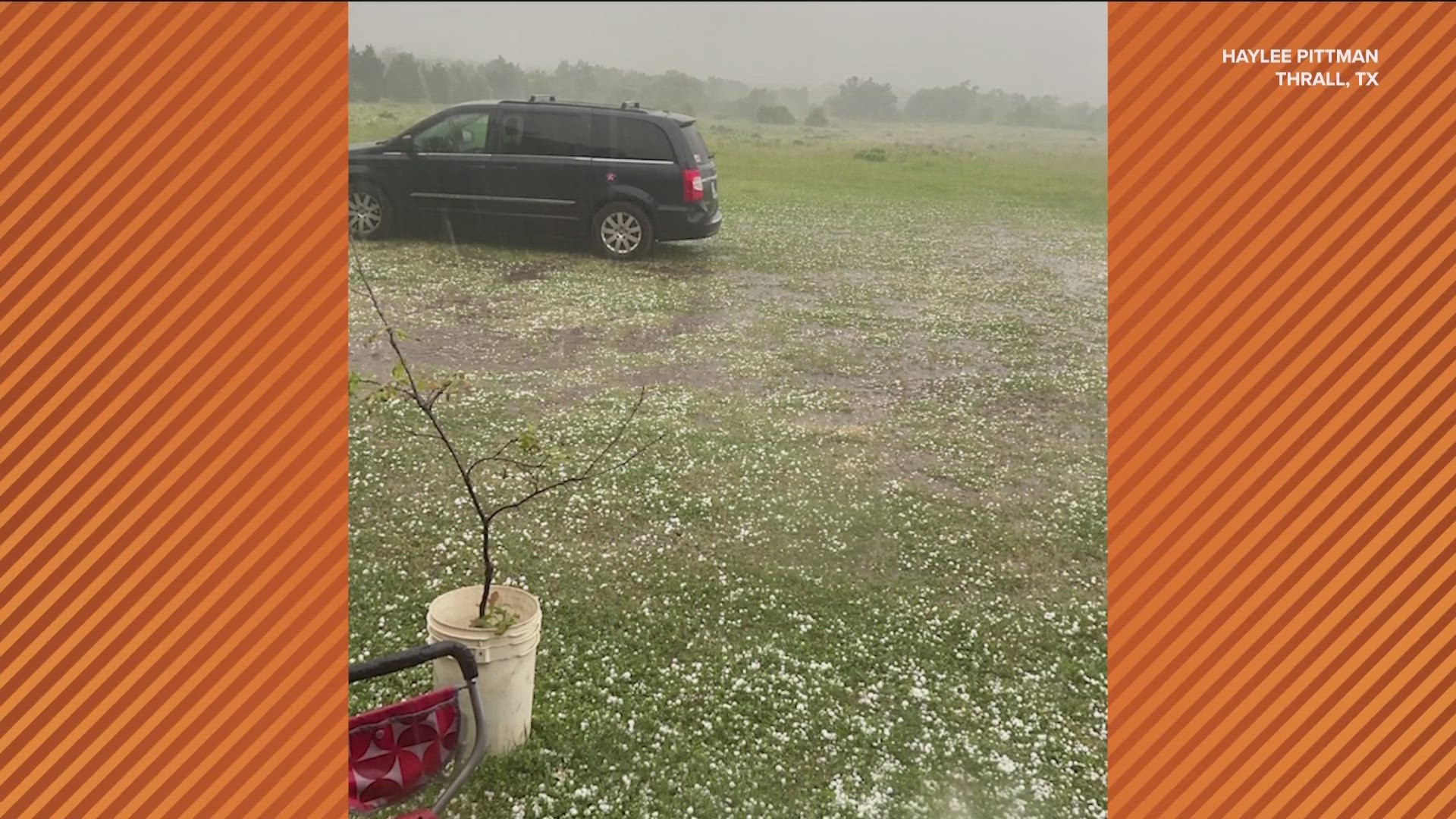
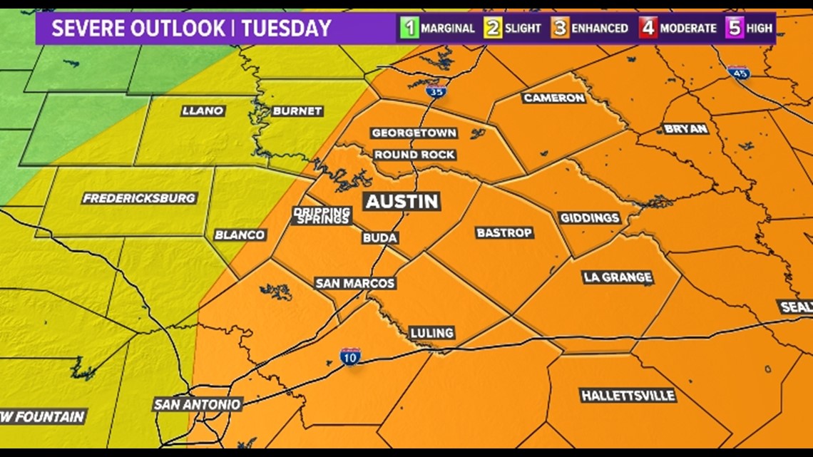
There will be a higher risk for severe weather and more widespread storms on Tuesday. Most of the KVUE area is now under an "enhanced" –level 3 of 5– risk for severe weather. This includes a risk for significant hail more than 2 inches in diameter, along with possible tornadoes and strong winds. Isolated flooding can't be ruled out under some storms.

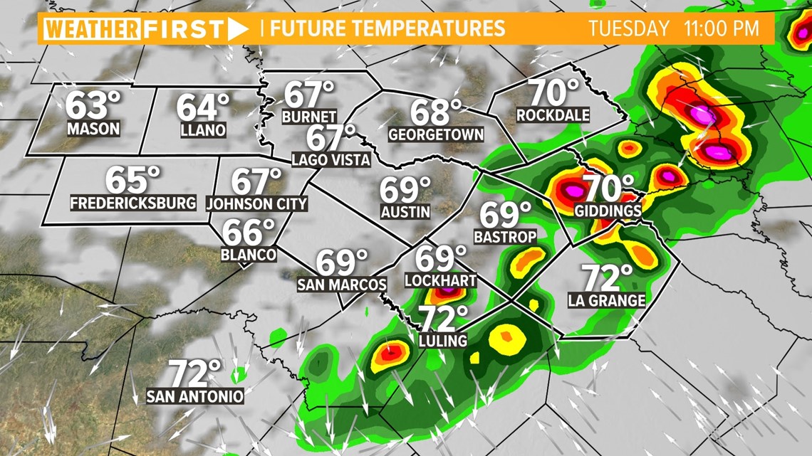
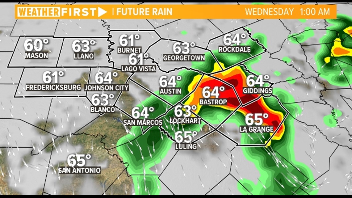
A cold front will sweep through the area 9 p.m. to 11 p.m., affecting the I-35 corridor and areas southeast of Austin. These scattered showers and storms will have the potential for strong winds, isolated heavy downpours, and isolated tornadoes.

Early Wednesday morning, high resolution models put another storm in the Coastal Plains. This cold also effect the eastern I-35 corridor. Again, there is the chance for hail, damaging winds, and potentially an added flood risk.

Breezy conditions arrive behind the storms and will bring the potential for gusts up to 45 mph for parts of Central Texas. A Wind Advisory will be in effect for Blanco, Burnet, Gillespie, and Llano counties from 1 p.m. to 7 p.m. Wednesday. Sustained winds from 20 to 25 mph will be possible.
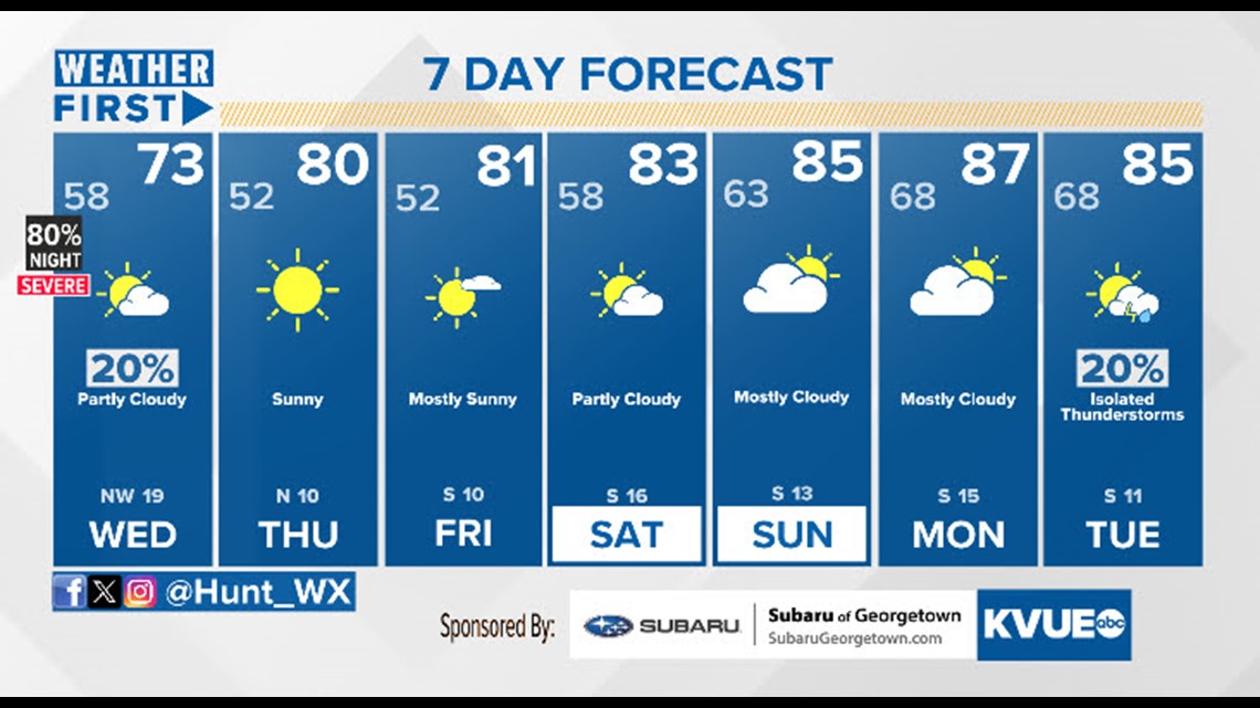
In the meantime, the extended forecast can be found below: