

It’ll be the same old song and dance this weekend. Each morning will bring the potential for a killing freeze, with wildfire concerns in the afternoon, especially Saturday. Temperatures will finally warm into the 60s, though.
Let’s start with the freeze potential for Saturday morning. If you dipped below 32 degrees Friday — Woodbine, Dennis Township and Vineland — you’ll do so again Saturday morning. With a lighter wind, low dew points and a clear sky, something called radiational cooling will form, allowing the heat from the day to escape into outer space, especially well away from the coast.
It’s possible we’ll have a record low at Atlantic City International Airport and Millville for Saturday. The current records are 32 and 31 degrees, respectively.
For most people inland, we should be around 35 degrees. Meanwhile, the coast, moderated by the relatively milder ocean, will be around 40 degrees.
People are also reading…
We’ll have a sunshine-packed day, thanks to a hulk of a high-pressure system extending from northern Quebec to northern Florida. The air mass is a little stale, though, not packing the same chilling punch it did in the days prior. Therefore, temperatures will moderate, especially inland, where I see mid-60s. For the coast, including Somers Point, where Bayfest is happening, temperatures should rise to around 60 in the late morning, then drop into the 50s on an easterly sea breeze during the afternoon. Still, with sunshine, it’ll be fairly pleasant.

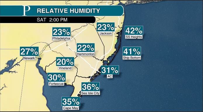
With the good comes the bad, though. That’s the wildfire risk. Please do not burn in wooded areas Saturday. The potential for a fire to spread is easy with the bone-dry forest, bone-dry air and a little gust of wind. At the time of writing, our area was fire-free, so keeping this up would be great.


The fire threat will quell a bit into the evening, though it’ll still be dry. Again, we’ll have to watch for freezes. I expect big differences in temperatures across the region. For the coast, we’ll be in the low 40s. For those well inland, we’ll be in the upper 20s again, while most of the Garden State Parkway corridor will be in the mid-30s. Again, Millville could break a record low, with 29 degrees the mark to beat.
Cover your plants if you’re reading this well away from the coast.
Sunday is the transition to a less fire-prone, warmer and wetter pattern. Expect a good amount of sunshine to start. However, high clouds will build in during the afternoon. High pressure will still do a darn good job of keeping away rain from an incoming front. Most of your outdoor plans will be fine, just continue to be cautious about burning outside.

Between 3 and 5 p.m., the potential for a shower begins. High temperatures will be 60 to 65 degrees. More than likely, they’ll be scattered, light showers for the rest of the day. Then, after about 7 p.m., it’ll be a steadier, light rain that will continue overnight. This will end between 4 and 6 a.m. Rainfall totals should be 0.10 to 0.25 inches. We’ll take it, but could use more.

Southeast winds will blow Monday, and that will bring a cloudy start to the first weekday of May. Expect the wildfire threat to go away as humidity increases. Highs will be in the mid-60s, so many outdoor projects or after school activities will be fine.


